Like this? Follow me:

Stats (approx.):
- 36.5 miles
- 12,815’
Starting Date:
- 9/2/17
Total time:
- 2 days, 11min
Three Centennials Summited:
- Capitol Peak
- Snowmass Mountain
- Hagerman Peak
After cruising through the Sawatch, I had to once again cross west over the Continental Divide – this time with an unruly bear canister in tow, to dash off the Elk Range.
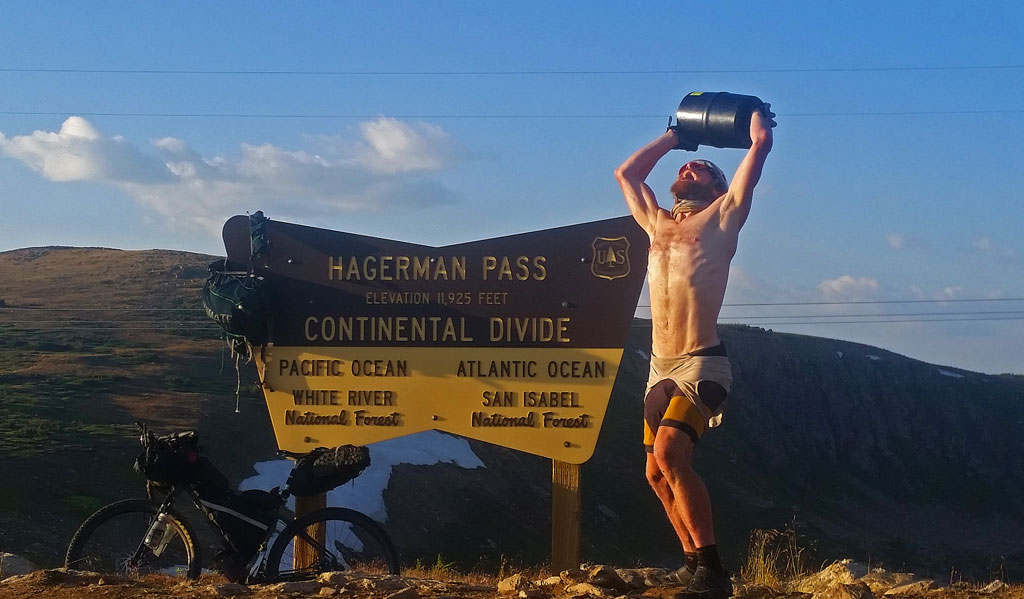
Hagerman Pass
A fairly stout portion of the tour was awaiting me, featuring some interesting climbing, some fairly loose and dangerous routes, and some unknowns for me with Hagerman, Cathedral, and Thunder Pyramid.
Timing wasn’t very good. It was coming up on Labor Day weekend. I certainly didn’t want to visit the Maroon Bells at that time – an already busy area would be a mad house (lots of people = lots of potential rockfall), so I opted to take the range in a strange order: first Capitol, Snowmass, and Hagerman in the west, then Cathedral, Castle, and Conundrum at the east side of the range; and finally the Bells and Pyramids right in the middle.
The ride up Hagerman Pass from Leadville was long, but the descent down is a total classic: a smooth, seemingly endless downhill. Options to camp get real slim after the reservoir (so camp well before the reservoir), but I managed to eek out a fairly miserable bivy right off the side of the road in some overgrowth that my map at least labeled as NFS.
I resup’d all the way in basically El Jebel, then made the long, 2,000′ climb up to the Snowmass Creek trailhead. Another sustained ride interconnecting ranges – this one clocked in at around 91 miles from Leadville. Good thing I like riding bikes.
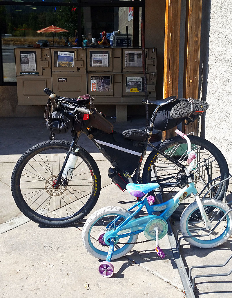
Rollin’ w/my crew near Basalt, CO
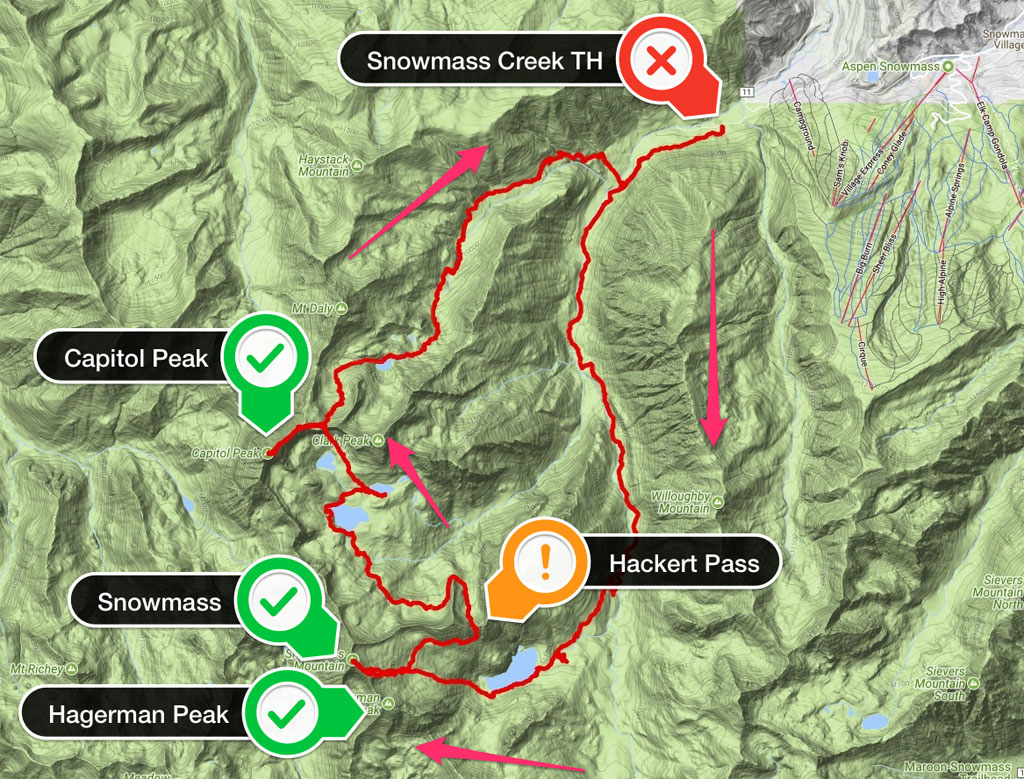
I left late around 4:30pm from the Snowmass Creek TH, with a goal of bivying at Moon Lake, which I was looking forward to immensely. From Moon Lake, I’d get onto Capitol’s standard NE Ridge route, drop down into Pierre Lakes Basin via the Wandering Dutchman couloir, then approach Snowmass from its West Ridge via a somewhat questionable ridge crossing that I had scant beta on. Once I was done with Snowmass, I’d take the Four Pass Loop route to Hagerman’s south side and summit via its South Slopes route. Finally, I’d hike out via more of the Four Pass route, traversing over Trail Rider Pass and enjoying the long, smooth, gentle descent back to the Snowmass Creek TH, more than eleven miles away (from the pass).
A good agenda, and one not done too often. Most who link up Capitol and Snowmass (a rarity in itself) do so via Heckert Pass, which is a much, much longer way around things, and would put me on the wrong side of Snowmass if I also wanted to tag Hagerman. I’ve done that before (minus Hagerman),
Snowmass, Capitol linkup, Tour 14er, 2014
and found the trek from Snowmass to Capitol via Heckert Pass to be a fairly long day. That huge, horseshoe bend to gain Heckert Pass is a major time suck. Having started in the morning to top Snowmass then left me exposed to afternoon thunderstorms for the much more difficult Capitol Peak after getting through the talus overdose of Pierre Lakes Basin.
After summiting Capitol, I then had to descend past Moon Lake and negotiate the somewhat complicated network of game trails in hopes of making it back to the main trail. When I did this in 2014, the area below Moon Lake was sopping wet from a recent passing thunderstorm; the terrain itself was congested with enormous downed trees I had to negotiate up, down, and around. Headtorch was failing and I just remembered slipping and falling constantly, all the while feeling completely lost and totally drained from such a long few days.
That’s why this year my plan was to start by gaining Moon Lake and bivy there, then do Capitol Peak early in the morning, and only then travel to Snowmass’s West Slopes. If the weather held, great – I could then do Snowmass, and if not – well, it’s not the end of the world, and I had options, like: just wait out the weather and summit Snowmass later in the night – or even the next morning.
Leaving the Snowmass Creek trail a bit too early, I thrashed a bit in the tall willows trying to find a good place to cross the creek, following various cow paths. I didn’t find the actual use trail until pretty high up the rise past the meadow, but was happy to find it when I did. There was still a ton of sunlight left in the day to get lost, but not hopelessly so. My path up towards Moon Lake wasn’t perfect or the most direct, but it felt worlds better than in 2014. Looking back, I can’t help but smile at how terrible of a night that was then, trying to crawl back to the trailhead only to pass out in the parking lot. Remember that one forever.
Soon though, the forest gave way large fields of talus leading ever higher, all wrapped up in a amphitheater of steep granite walls. Up the talus field, I’d find Moon. Night had fallen, but the worst was over. Time to find a place to sleep.
I knew from being at Moon Lake before that there wasn’t too many great places to bivy – it’s not a place I’d really suggest for more leisurely camping, but I just needed to pass out for a few hours. It took a bit of poking about in the dark, but I finally found a enormous, coffin-sized piece of talus that was level enough – and flat enough to bivy on top of. In such a desolate area surrounded by nothing but fields of rock, it felt lottery-winning to grab this.
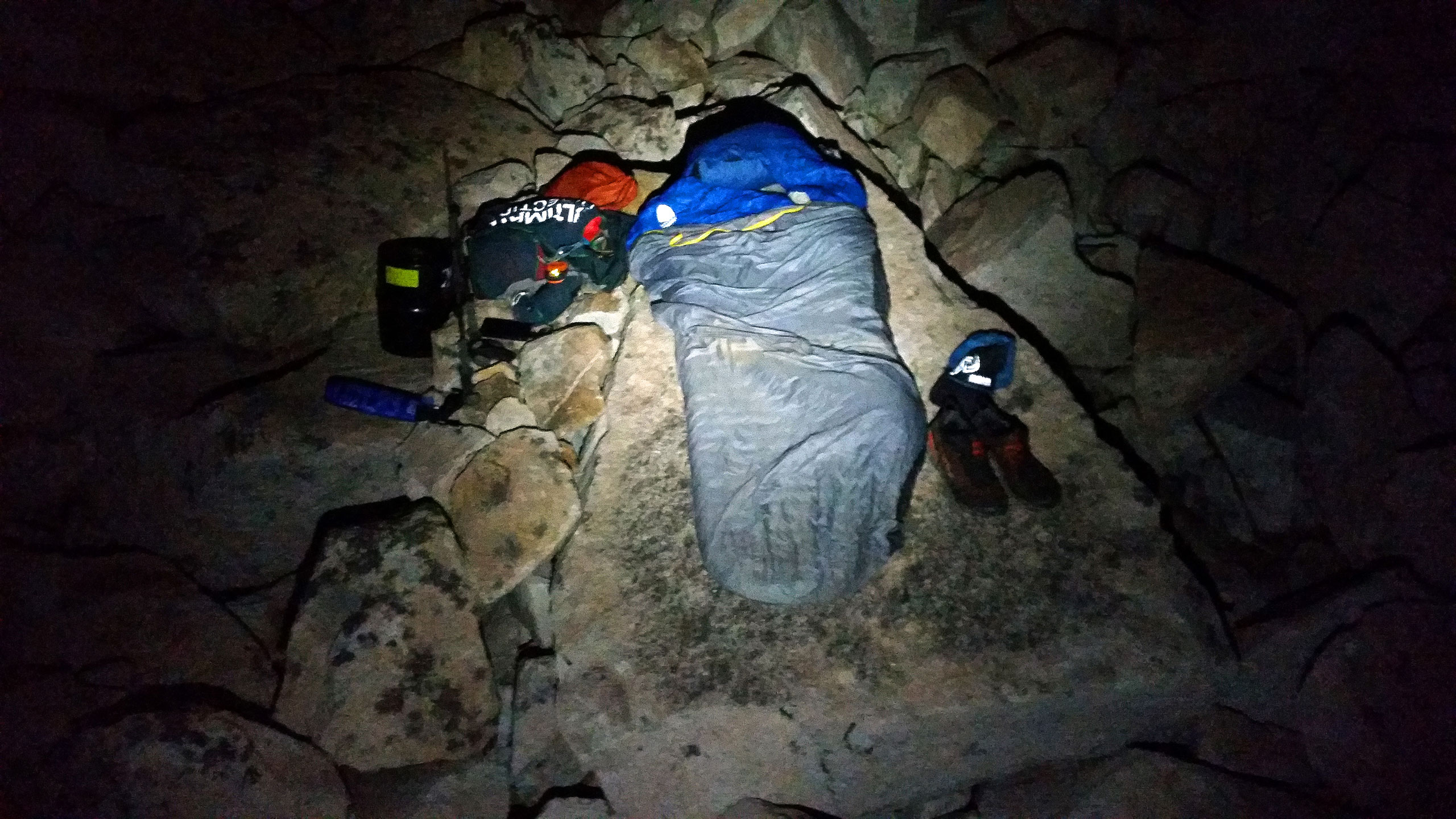
Moon Lake Bivy
I woke up very early – ~4:00am? To get an early start of this long day. Even this early, I could see a string of headtorches above me, following the standard approach around Mt. Daly to Capitol. I preferred to be one of the first people on Capitol today, rather than one of the last, as I wanted to move quickly, and not be in back of slower parties. And the whole rockfall thing. With all the causalities on Capitol in 2017, it did feel strangely like hallowed ground.
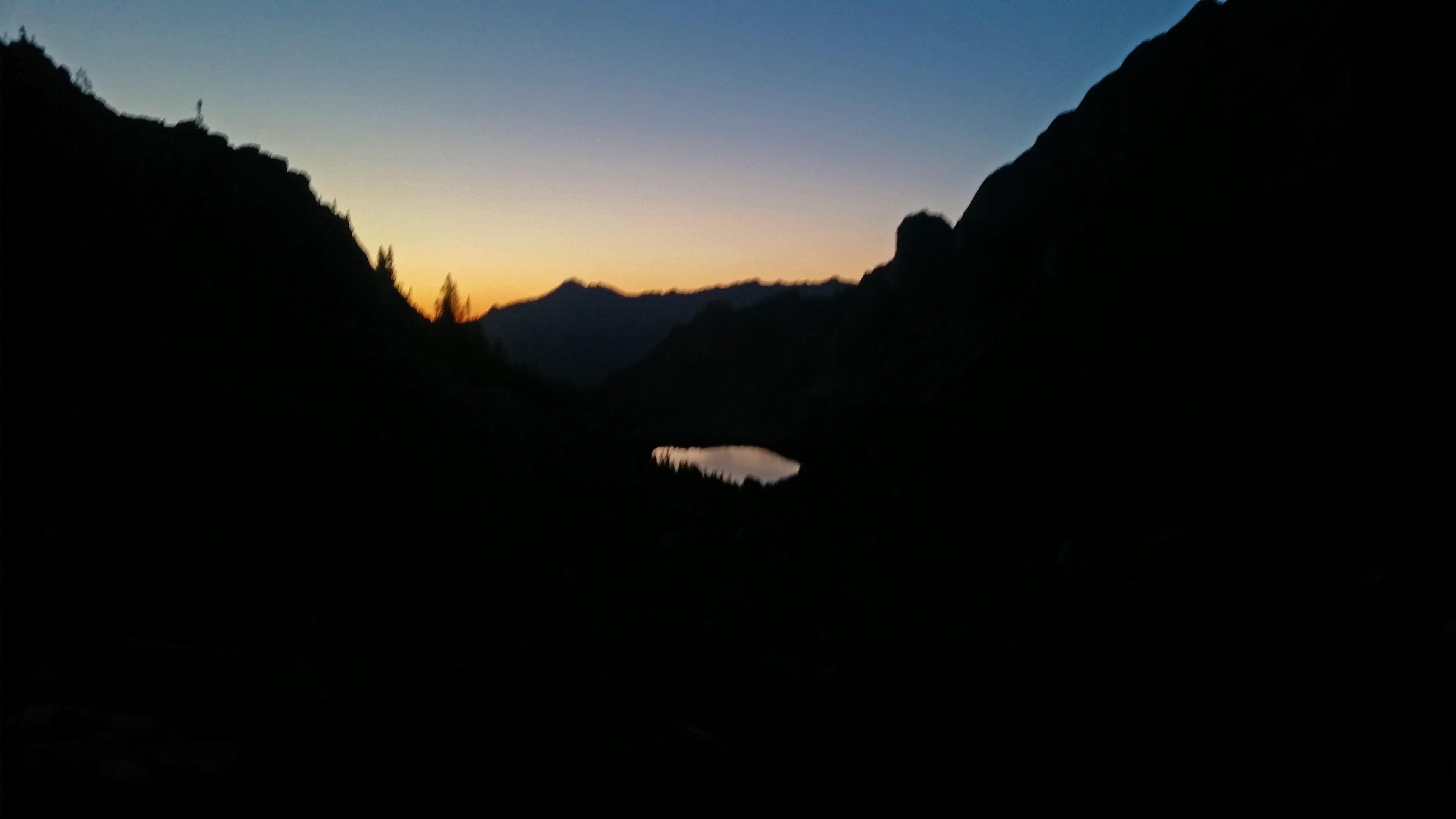
Looking back after leaving Moon Lake en route to Capitol Peak
My speed though, was fast enough to past most of the people I had seen from where I started near Moon Lake, and I got to K2 without too much bother. From there, it was a beautiful dance across the knife edge.
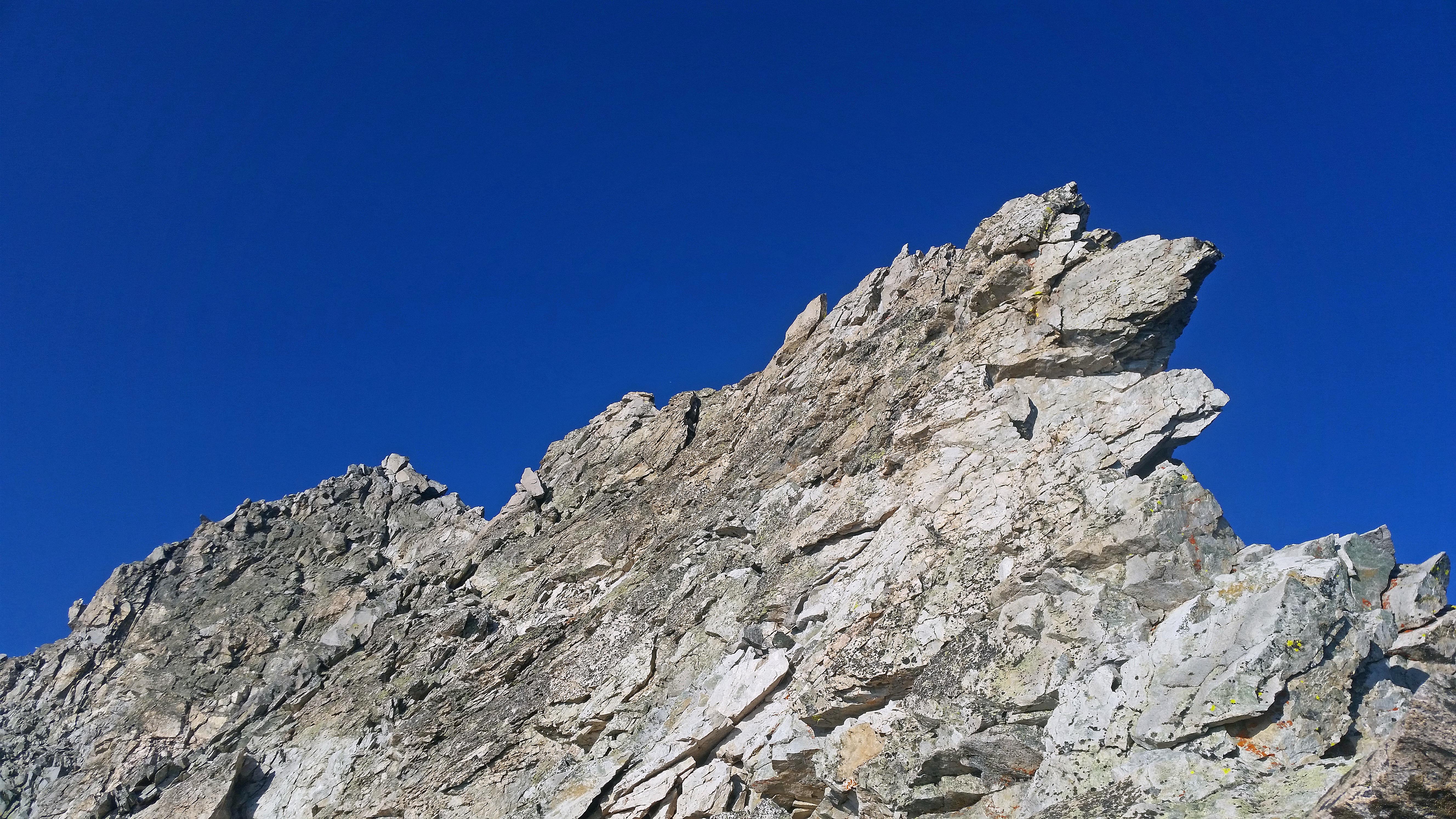
NE Ridge Direct, Capitol Peak
Then, I felt frisky enough to just take on the NE ridge directly, instead of doing the more standard route of wrapping around the south side. What I found there was fantastic scrambling on relatively bomber rock, with a little bit of exposure to boot. A relief from what I remembered from doing the standard route in 2014.
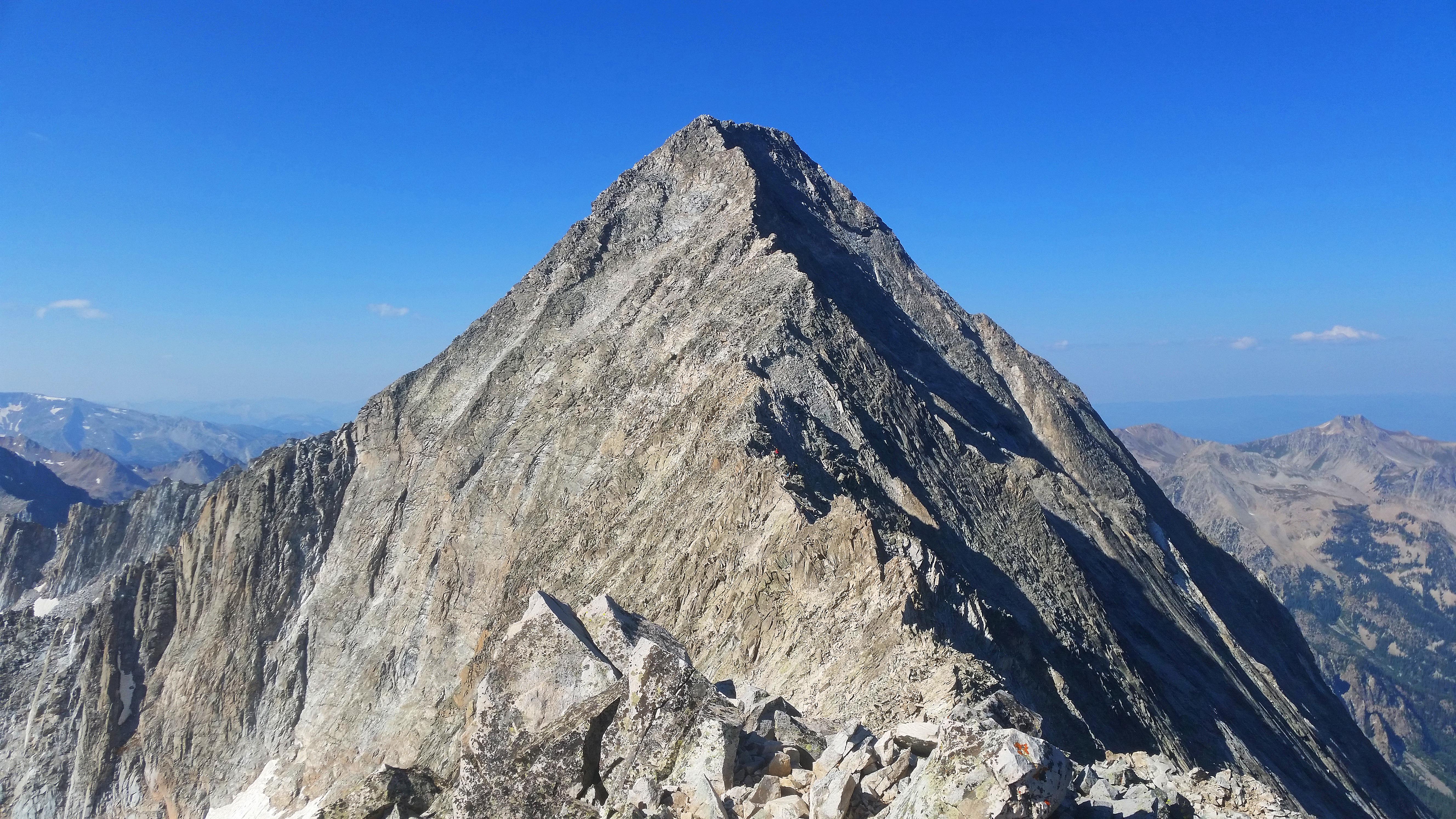
Capitol Peak
Soon enough, the summit was topped. A really wonderful morning. I opted to take the standard route back down – looking back, that was a mistake. I courteously didn’t try to pass too many people going down, but rocks seemingly were flying everywhere, and some people around me were looking very obviously nervous. At this point in my tour, this terrain was all par for the course, so I felt very much in control – perhaps just a bit impatient. When I could safely, I passed a few people, and quickly got back to the knife edge crossing, then over to K2. I picked up my cached gear, and made my way to Wandering Dutchman.
I knew Wandering Dutchman would go easily enough (having gone up it before) despite how it looks, so down I went! It’s loose in some parts, but not too terrible.

The Wandering Dutchman Couloir
Once down the couloir, you really do enter an entirely different world. For the most part you are now alone in a surreal monochromatic landscape. Surrounding you on most sides are shear granite walls featuring serrated, uninviting turrets. But somewhere in all this, I would have to cross over.
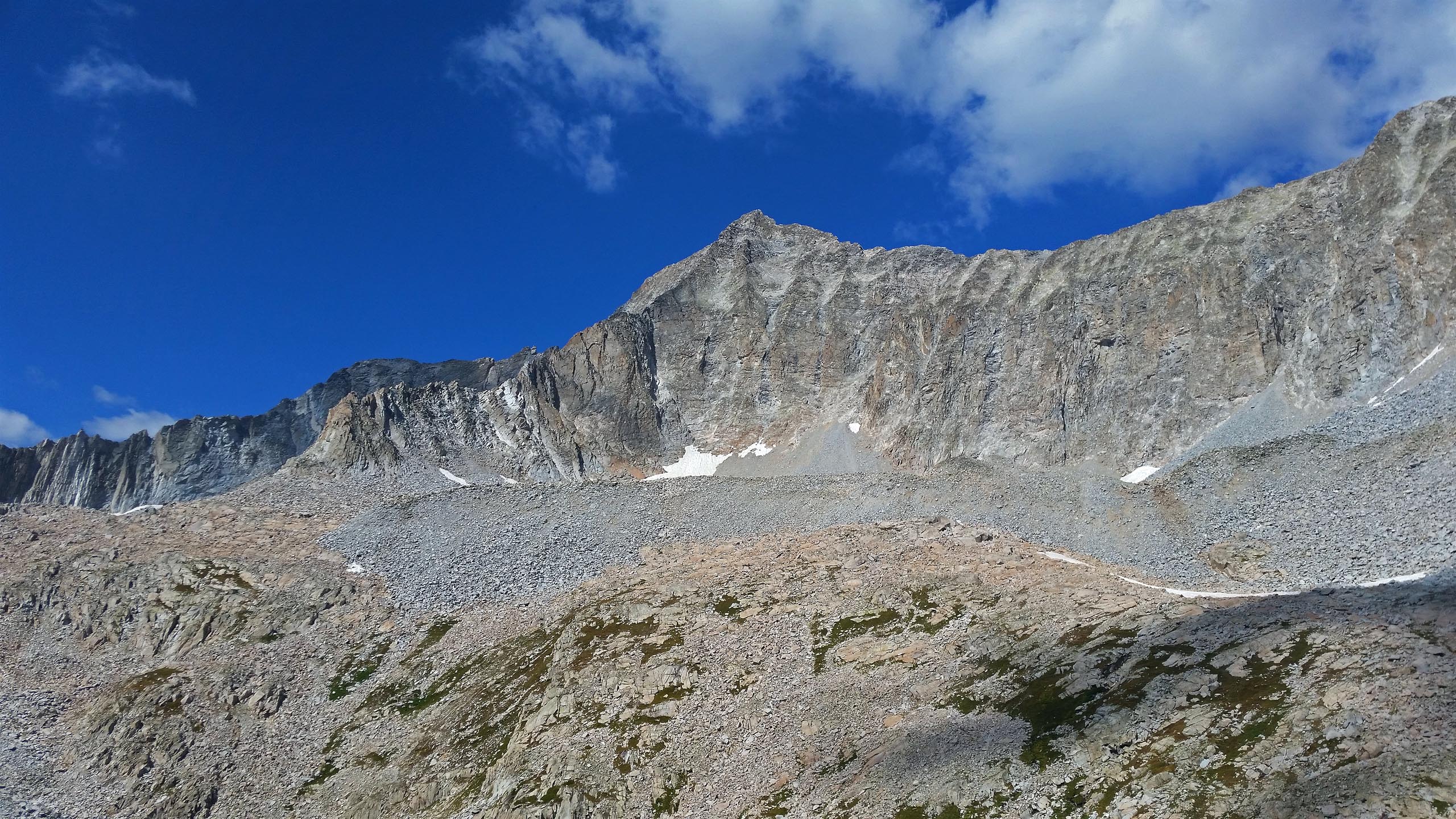
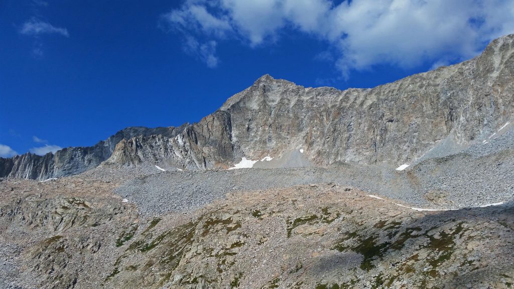
Capitol Peak, and the Knife Edge seen from Pierre Lakes Basin
I knew the general area of where there is a reasonable place to do so – around a hidden corner, past one of the lakes, so I started rock-hoping in that direction. The entire ridgeline from Capitol to Snowmass looked rotten. The entire ridgeline from Capitol to Snowmass is rotten. I found my low point in a small cirque, and headed up. The terrain was loose, and peppered with boulders. Soon it became steep, and freeing these boulders to free-fall became quite easy. These same boulders are what I was counting on to grab, and stand on to make upward progress. To have them let loose so easily was not very ideal.
Stay focused, Justin.
On the top of the ridge, the ridgeline actually gets a bit more solid (relatively), but continues to steepen. I found a passageway through the jumble of crumbling spires of decomposing granite tottering around me and pulled a move or two that were most certainly harder than anything on the ascent of Capitol Peak itself.
Gah! I was happy that pitch was over, and perhaps happier still to see that the other side of the ridge line was much, much more chill – just your regular, if not steep, talus field. “Totally reasonable backpacking route”, I sarcastically thought. Oh well: serious bodily harm avoided – onward!
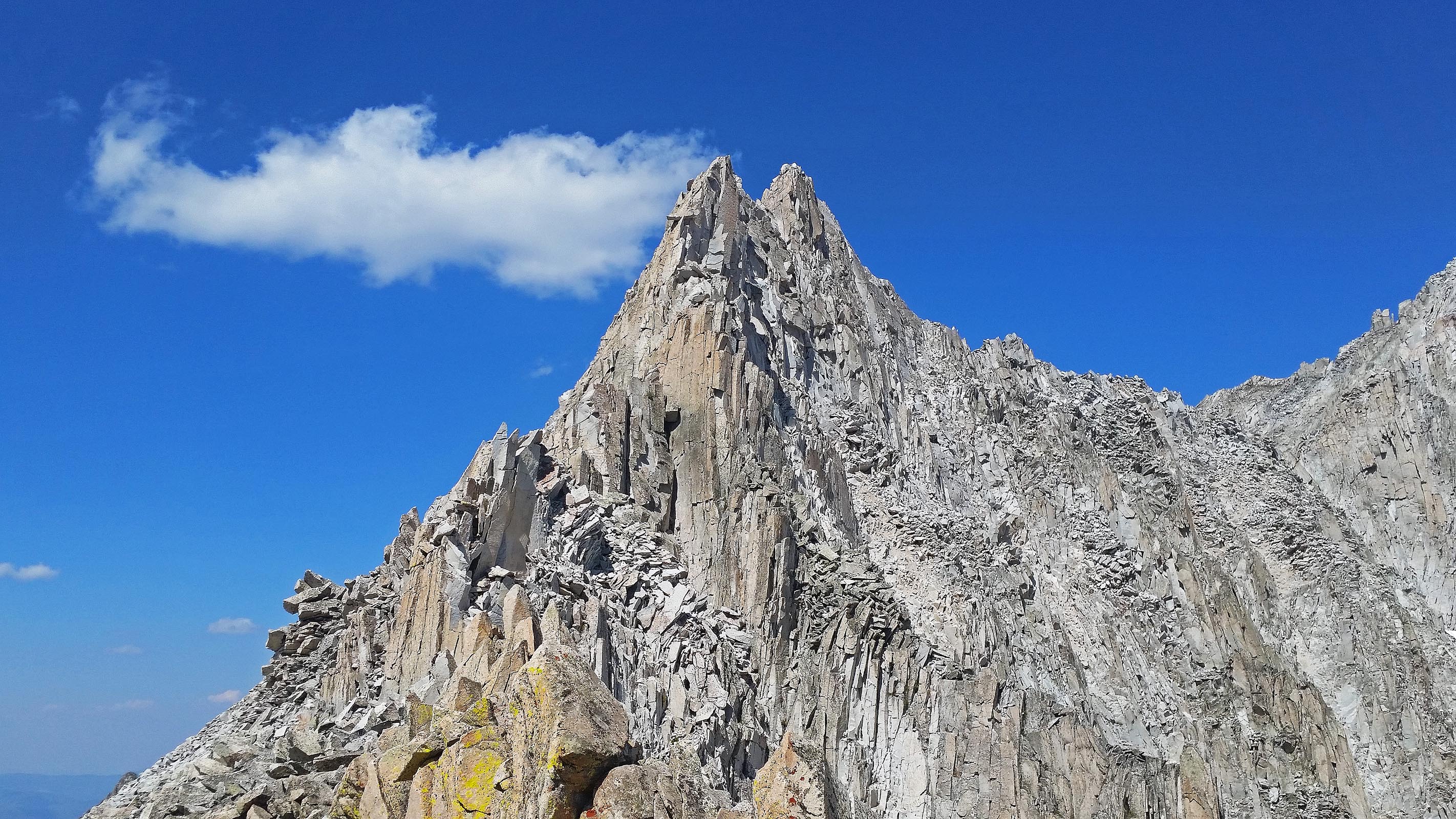
Crumbling spire besides where I crossed over the Capitol/Snowmass ridge.
I traverse south to another small col, which would then deposit me onto the west side of Snowmass. My first time in this area, so I wasn’t quite sure what the most efficient way to the summit of Snowmass would be, but I basically tried to do a traverse around Snowmass’s West Face itself. This really didn’t work all that well, and I soon lost quite a bit of elevation in my attempt.
I wasn’t very familiar with the west face route of Snowmass, but I picked up a cairn or two, ditched my gear again and set forth. I found the various gullies that cut through the west face absolute crap, and stuck to the shallow ridges between the gullies. Although loose themselves, they proved to work well enough to make the summit of Snowmass. Two peaks down!
I elected not to try the Snowmass/Hagerman traverse (5.4?) – I knew it was loose and technical. I was tired enough already for the day – and anyways, my gear was stashed far below. For a faster time though, it could shave some hours to do that traverse, then descend from Hagerman. Next time? (Next challenger!). I stumbled down to my gear without incident, and sniffed out the trail next to the lakes that dot the basin below for the main trail.
Good camping can be found in the area – feels nice and remote, but I wanted to make tracks, and set myself up nicely for Hagerman in the morning, which I wasn’t thinking would be too much of a chore. Once I descended by Geneva Lake @ 10,800′, the trail started climbing again, and didn’t relent until I stopped for the day to bivy @ 11,300′. Wiped. I found a less than ideal spot right next to the trail.
In the morning, I again left my gear a little off the main drag, and started up Hagerman. Shoulda made camp a bit higher up the trail towards Hagerman – there was a perfect little camping spot a few hundred feet away. Ah well, now I know for next time! Hagerman’s route seemed to be just, “find the right gully, and go up it!” I either did not find the right gully, or this was the most sandbagged route in my entire tour.
The gully I had found was beyond lose – extremely dangerous. I knew no one else was in the area, or I would have certainly hurt someone with all the crap I let sail down. I found solace climbing up a chunk of steep and stable rock – some sort of glacier-polished rock amongst the endless morraine-type crap, only to find all my holds disappearing at the top. Finding ways to bypass these difficulties, I kept on going, until the gully itself seemed absurdly impossible to be used to gain any more upwards elevation. “F*CK!”, I thought, “WRONG GULLY!”
Instead of backtracking – dangerous in its own right, I decided to see if the gully I was in connected to another gully that I saw from the base, which exited to the east of the gully I was in. After rounding a shaky corner, it indeed looked like it did! Would this gully be better?
No. I only found more of the same: steep terrain, shedding rocks all around me. Nothing to do but keep going up. Every step I took seemed to simply compact the ground below my feet. I would lurch for a hold above me – missing by inches, having not taken into consideration that my reach would be blunted by my tenuously sinking foot purchase.
The terrain above me always looked more appealing, so I kept just going further up. The main ridgeline to the mountain itself looked just barely out of reach, and each time I would get to what I thought was that ridgeline, I’d find yet another ridgeline further away – and yet another complicated system of small gullies and faces. “This sucks.”, is all I could really muster.
If I hadn’t had gone through all that I had gone through in the 80+ mountains before this one in the last month and a half, I probably would have been more traumatized. In reality, this mountain just seemed like my final dissertation towards getting my degree in Choss-ology, summa cum laude.
“Rocks are sticking to the mountain, I’m sticking to the rocks!” was my little mantra.
I found the for-real east ridgeline to Hagerman’s summit in a small notch, and finally again found reasonable hiking ground that took me west to Hagerman’s summit.

Hagerman, Snowmass, North Snowmass, Capitol, K2 seen from Hagerman’s east ridge
That route wasn’t to be reversed, so it was no question to take an alternative route down, if not without any real beta on it: Hagerman also features a southwest ridge that while rated a little harder – at least on paper, looked like a path paved in gold in comparison. So down that I went.
Turned out to be a very fun route indeed, and I made much better time. At a small break in the ridge’s cliffs, I ran down a steep dirt gully, and reunited with the terrain that I used as my approach to the south face of the mountain. Perfect. Without losing too much more time, I packed the rest of my gear up, and hoofed it to Trail Rider Pass. The technical problems of this fastpack were over, just a matter of a 12 miles pack out!
Trail Rider pass is supreme, and the sight of Snowmass Lake from the trail just below it are as good as it gets in Colorado.
I put my head down, turned the jams up, and soldiered to the trailhead to pack the bike up. Then, to Aspen to grab some pizza, before riding up towards Pearl Pass and my bid up Cathedral, Castle, and Conundrum the next day.
Notes:
- Strava page w/track
- Capitol Peak NE Ridge route: 14ers.com, Summitpost, Mountain Project
- Hagerman Peak: South Face, East Ridge, Southwest Ridge
Starting at Snowmass Creek is most def. my preferred starting point for Capitol Peak, and Moon Lake is a special place. The camping is very tight after the talus fields start, but perhaps some spot could be found right before it.
My preference for Capitol is to take the Northeast Ridge Direct, rather than taking what’s known as the standard route. The standard route down south from the ridge, and winds its way a little circuitously to the summit. Easy, but looser. If you’re a good scrambler, take to the ridge.
The traverse over the Capitol-Snowmass Ridgeline was probably one of the most dangerous parts of this fastpack, and certainly much more dangerous than Capitol Peak itself. Still, it’s realistic – but I wouldn’t call it casual, unless you really love chasing the choss. Traversing directly on the ridgeline itself between Capitol to Snowmass is very serious, and wouldn’t be very time-saving when compared to dropping down into Pierre Lakes basin. Using Heckert Pass is a much longer route, but the technical challenges are mostly absent – it’s just a big slog.
The Snowmass-Hagerman traverse is much more pedestrian in comparison to the Cap/Snowmass traverse, but not something I wanted to onsight after doing Capitol. It would have saved me at the very least… 6 hours? if I had done it, then found a fast way down Hagerman. I could have then stumbled down the smooth trail to the trailhead perhaps in the same day that I started from Moon Lake! This is a good example of how my route differs from trying to do a similar route as a day trip, rather than a fastpack: I chose the fastpack style to give myself insurance in case the weather is not so great. Instead of bailing, and trying again, I can just hold fast at my current position, and keep going when the weather lifts.
With an early-enough rest, and luck with the weather, all three mountains could certainly be summited in a day, TH-TH.
The route I actually did on Hagerman was some bastardization of the East Ridge route, and not the South Face route, as I had thought. The South Face route seems to almost parallel the Southwest Ridge route pretty closely, instead of taking a tight, loose, and dangerous gully filled with widow-makers tottering above looking for any excuse to be freed. I can’t stress to the reader how immensely terrible the gully I picked to gain the summit of Hagerman was – perhaps when filled with snow it would be enjoyable? The Southwest Ridge route, in contrast was very enjoyable.
Camping permits will soon be effect for camping off of the Four Pass Loop. My camping spots may not be available without a permit – do your research!

[…] Fastpacks From Hell: Capitol/Snowmass/Hagerman […]
[…] Fastpacks From Hell: Capitol/Snowmass/Hagerman […]