Like this? Follow me:
The dream of completing the Sangre de Cristo Range Traverse just didn’t seem like something I could put down even after my first successful tour in 2019 going South to North. I made it then my mission to do the traverse from the opposite direction, starting in Salida and ending at Lake Como Road. This is actually the original direction attempted back in 1961, according to this report by 14ers.com user gore galore:
The idea of traversing the 125-mile crest of the Sangre de Cristos appeared in an article by Bill and Eva Rathbun in the Colorado Mountain Club’s “Trail and Timberline” magazine in 1957. Bill Arnold of the Colorado Mountain Club also had the same idea of a traverse of the range crest for a number of years prior but it wasn’t until the summer of 1961 that he, Lester Michel and his son Jim Michel could arrange time for such a trip.
From Poncha Pass, they made it to Music Pass – a stout trip – especially as the middle of the range wasn’t properly mapped out. I imagine big blank areas with, “here be dragons” written where the mountain crest would be, accompanied by a sketch of a mythical beast. A big part of the trip and the story user gore galore talks about was the running out of water. (foreshadowing!)
I became fascinated by this route initially from Brendan Leonard and Jim Harris’s trip in 2013, documented by Leonard’s writing and Harris’s photographs in a Backpacker article entitled, The High Lonesome: Backpacking the Sangre de Cristo Range (mirror at semi-rad.com). I knew Brendan peripherally while I lived in Denver as we both went to the same community-centered bike shop. Leonard just finished a cross-country bike trip, and could be seen driving his “Semi-Rad” emblazoned Astrovan around Colfax neighborhoods which he lived in. They also chose to start at the northern terminus – most likely because Leonard read that same Trail and Timberline article while buried in other research at the American Alpine Club Library in Golden, CO. Both of them made it to California Peak – achingly close to the end of the range – before a major storm system stopped their forward progress. This same system caused the flooding of Boulder in 2013. In his article, Leonard again asked 52 years later if the ridgeline had ever been traversed:
As far as I could tell, either nobody had done it before, or nobody had talked about it. I saw two tremendous unknowns: Was it actually possible? And, was it actually possible for me?
It took 5 more years before Nick Clark and Cam Cross did – as far as I can verify – the first true traverse of the Sangre de Cristo Range via following the crest and hitting (most) of the named high points. The next year, I was able to repeat their feat, only I started at Highway 150/Lake Como Road and ending in the town of Salida on Highway 50 and CR 180, added fairly substantial mileage. I also did the trip unsupported, bringing all my food from the start and sourcing water on the route, rather than leaving caches. My time was slower, but one of my goals was to make sure to summit every USGS named high point I could, rather than take any shortcuts around. Some of these highpoints missed by Cam and Clark are somewhat inconsequential, while others are serious technical problems, requiring a stout investment in time.
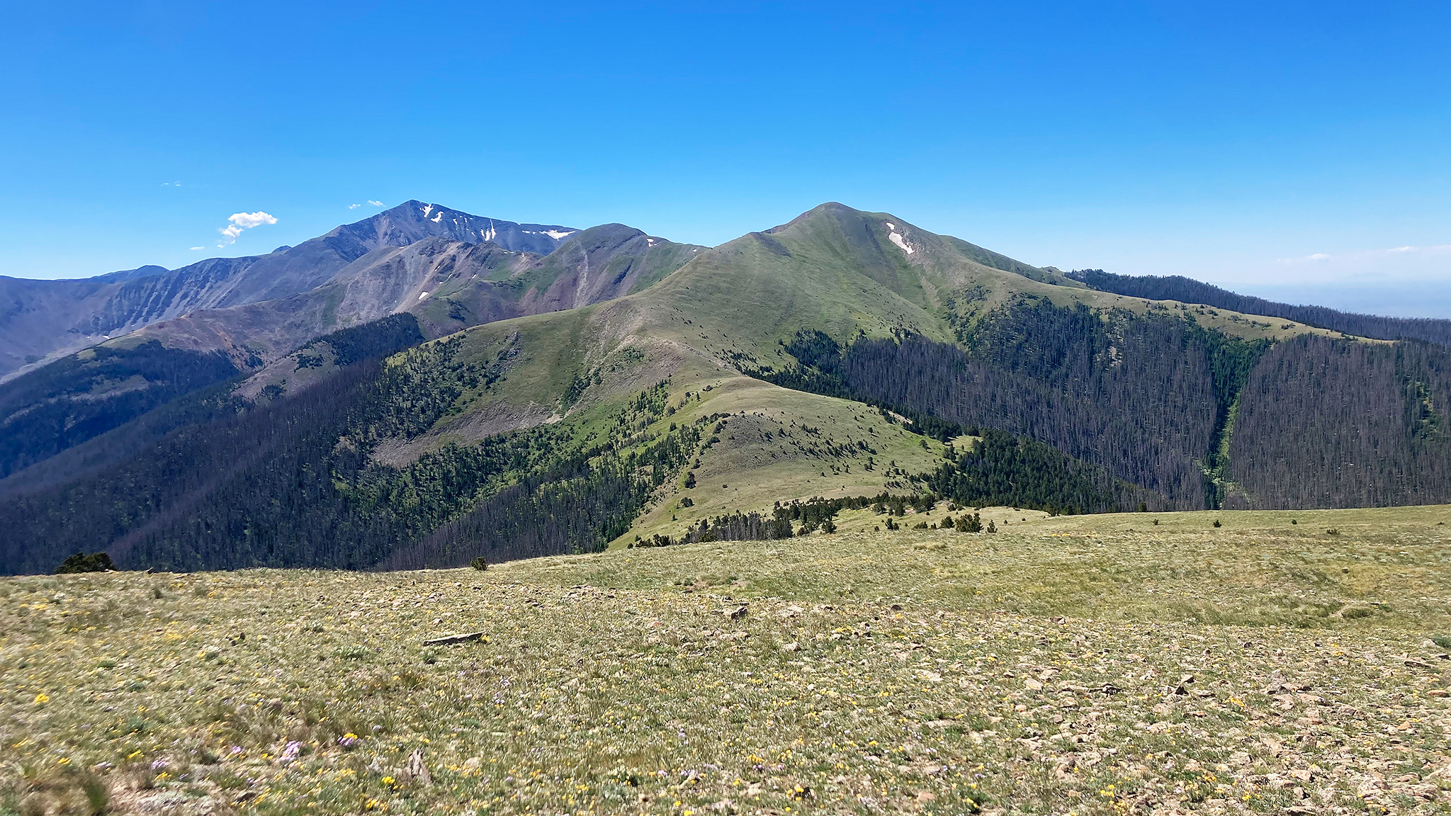
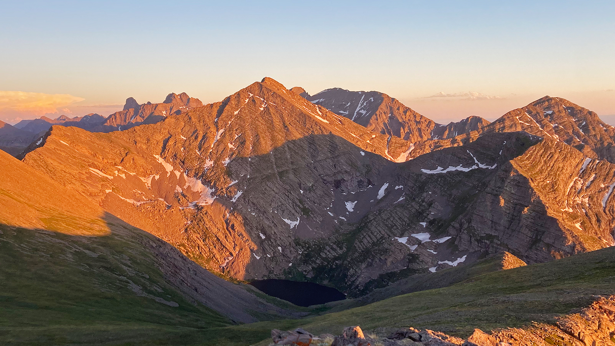
My 2019 experience of the Sangres Traverse was monumental, and I was sincerely crushed from the effort. Since my trip, a handful of other completions has been recorded on the FKT site, all going from South to North. I still needed to know: why not North to South? Is there something about this direction that makes it too hard, too impossible? One issue is all the most difficult terrain would then be in the last half of the route, meaning you’d have to take it on, with very tired legs/minds. Indeed, one of the most difficult and committing parts of the route: the Blanca/Little Bear Traverse, will take you to the very last high point of the ridge, then right afterwards require you to drop over 5,000′ of elevation gain into the desert below.
In 2022, I tried – twice. The first time I got blown off the ridgeline at Thirsty Peak, a story I tell in my long form entitled, Ceiling Zero on Thirsty Peak as well as documented in a video titled, Invite the Chaos. The second time was in October, and I neglected that the low autumn sun would be straight in my eyes as I hiked south for seemingly the entire day. Plus, the snow on the ground made the technical parts near the Crestones seem out of condition, so I bailed off the ridge first to the town of Crestone, then to the townsite of Moffat, a few dozen miles away.
This all leads to my last trip that started on July 13th, 2023. Again, I booked myself into a crappy motel blocks from the start of the route, and began in the middle of the night up the road to Methodist Mountain, with a goal again to traverse the very ridge crest to Lake Como Road. This time, I was successful and again this trip proved to be more odyssey and spirit quest than anything.
Here’s the day by day (mileage and elevation gain is a rough estimate):
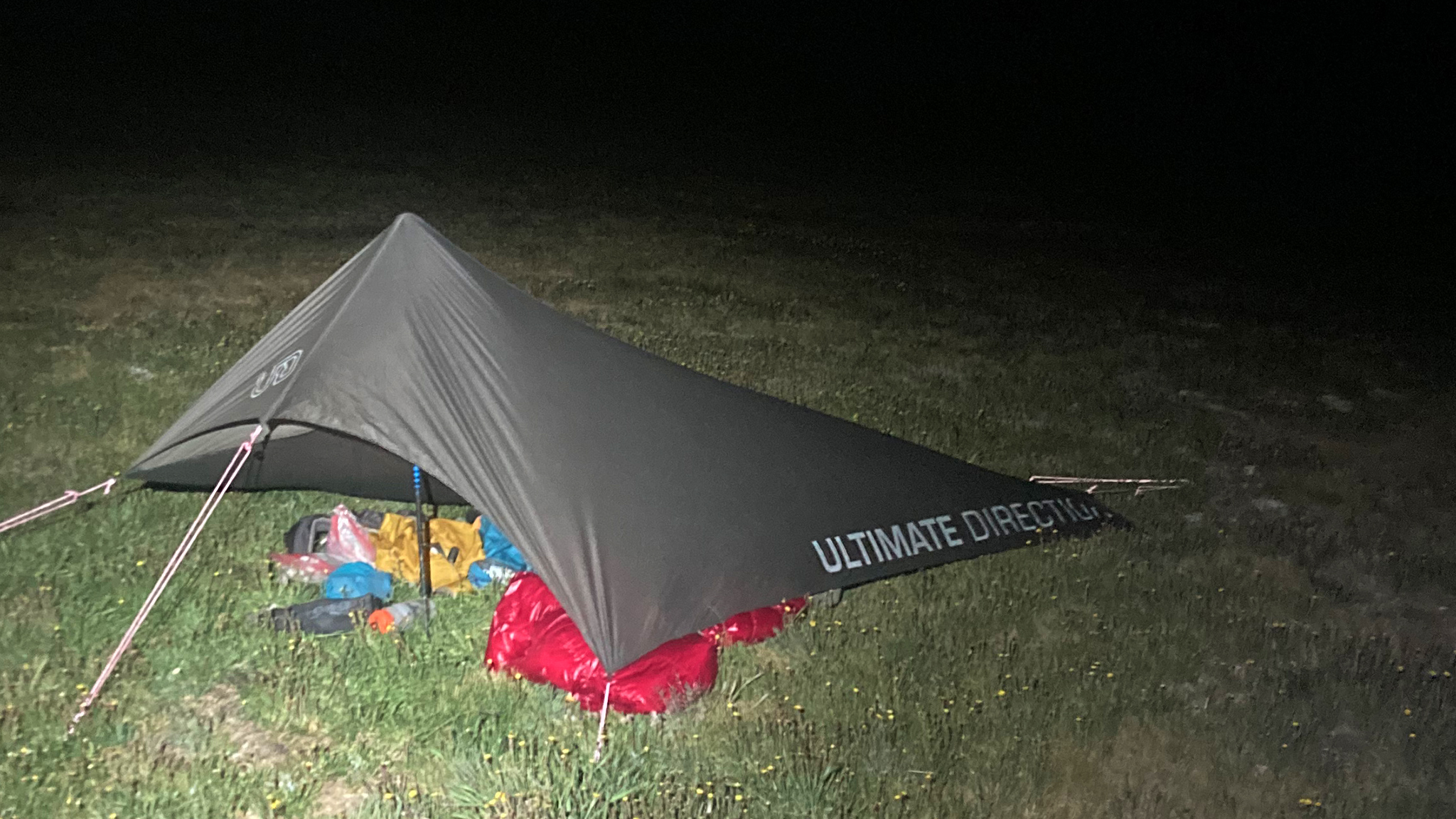
Day 1: from Salida, I managed to complete the Northern Crestones to Hayden Pass. This was a huge morale boost. It meant my first bivvy was relatively low and I was bound to get good sleep. ~28 miles/13,300′ gain.
Day 2: from Hayden Pass, I bivvied near the summit of Mount Marcy, elevation ~13,200′. This put me well into the part of the route where you’ll be at an elevation of 12,000’+ for over 50 miles. ~18.2 miles/9,500′ gain.
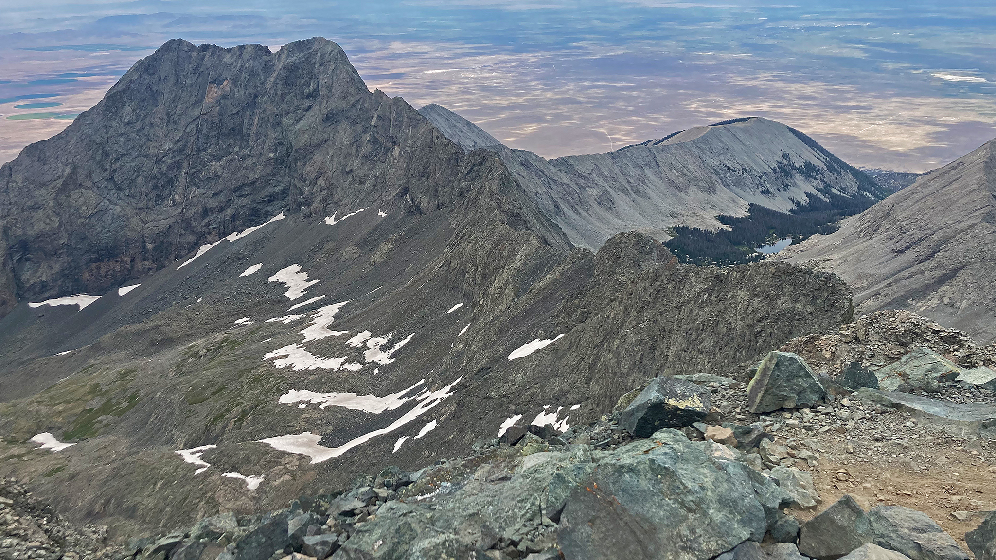
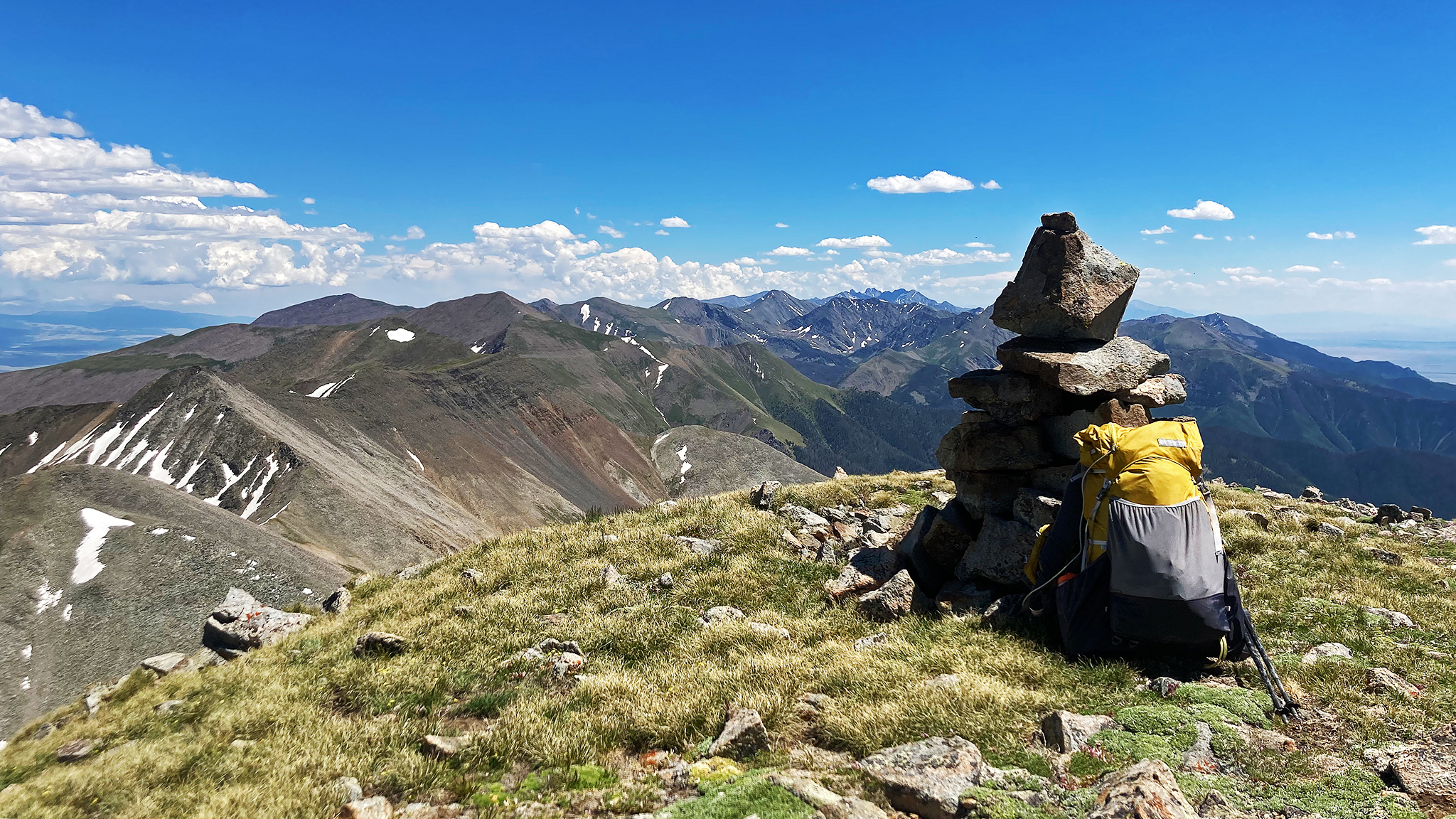
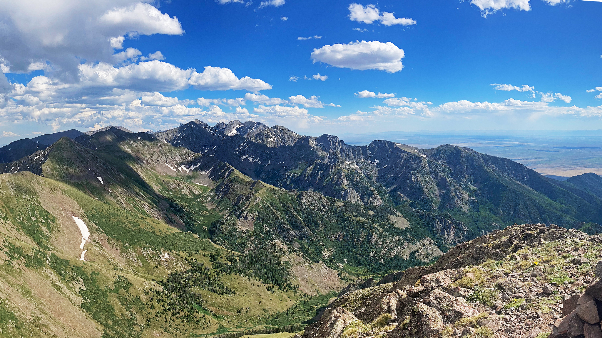
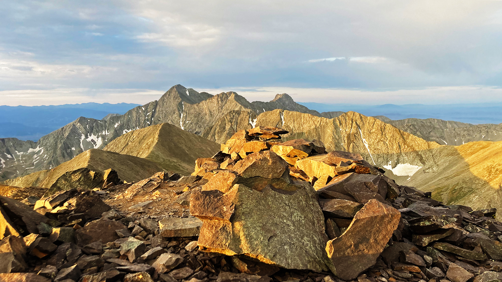
Day 3: from near Mount Marcy, I made it to near the summit of Fluted Peak, which marks the start of the technical parts of the route, and the route’s midpoint in both elevation gain and mileage. From here to around Milwaukee Peak, > 10 miles away, it’s almost continuous Class 3/4/5. I bivvied at again an elevation of 13,000’+. ~12.96 miles, 6,670′ gain.
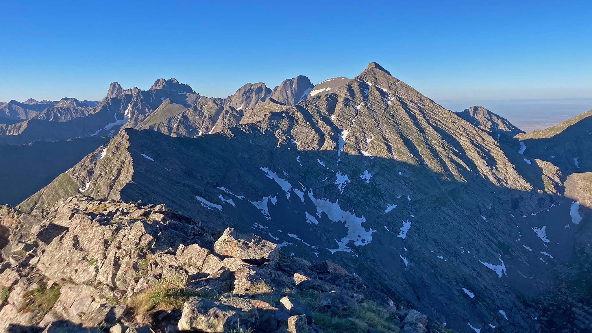
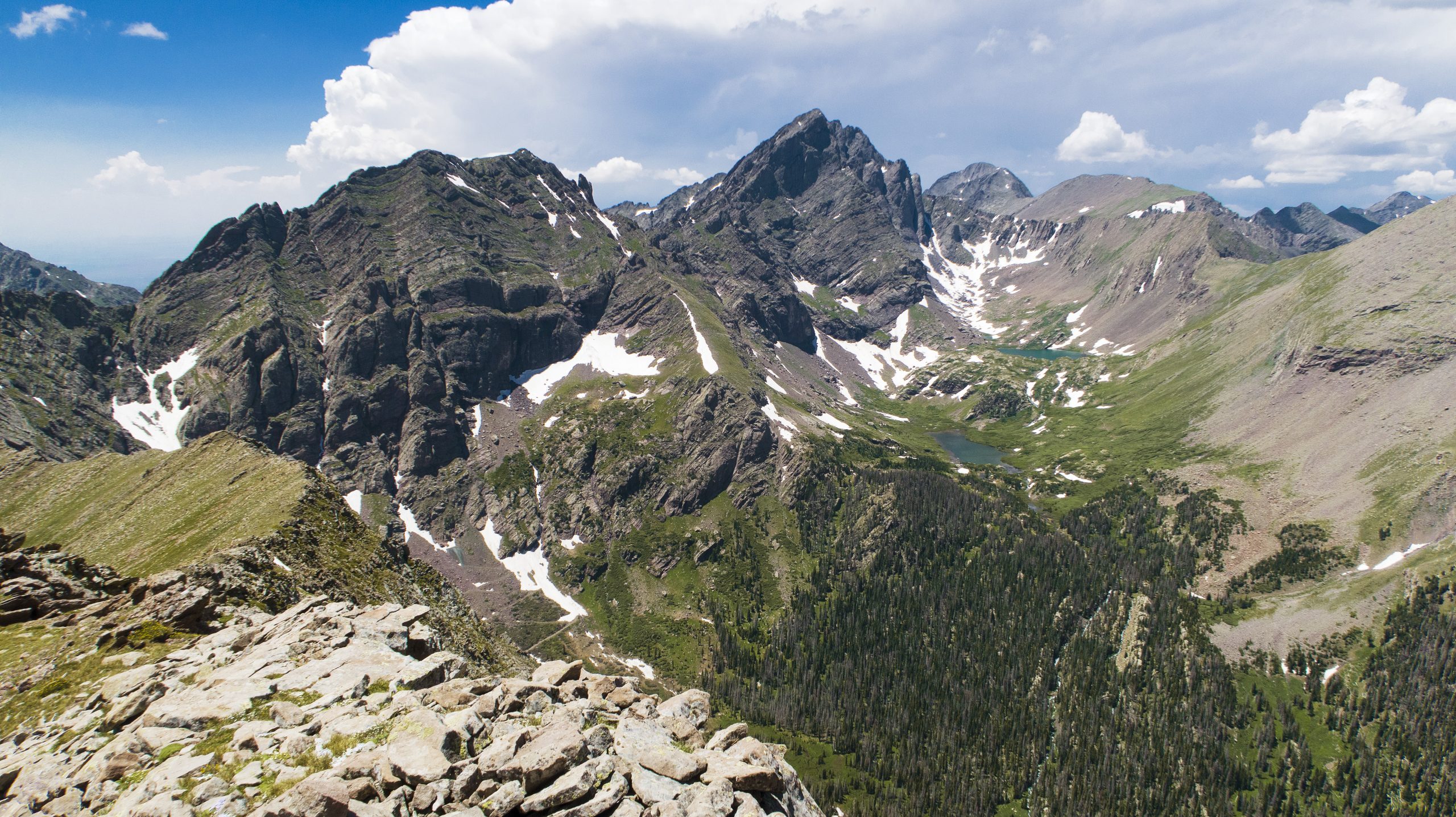
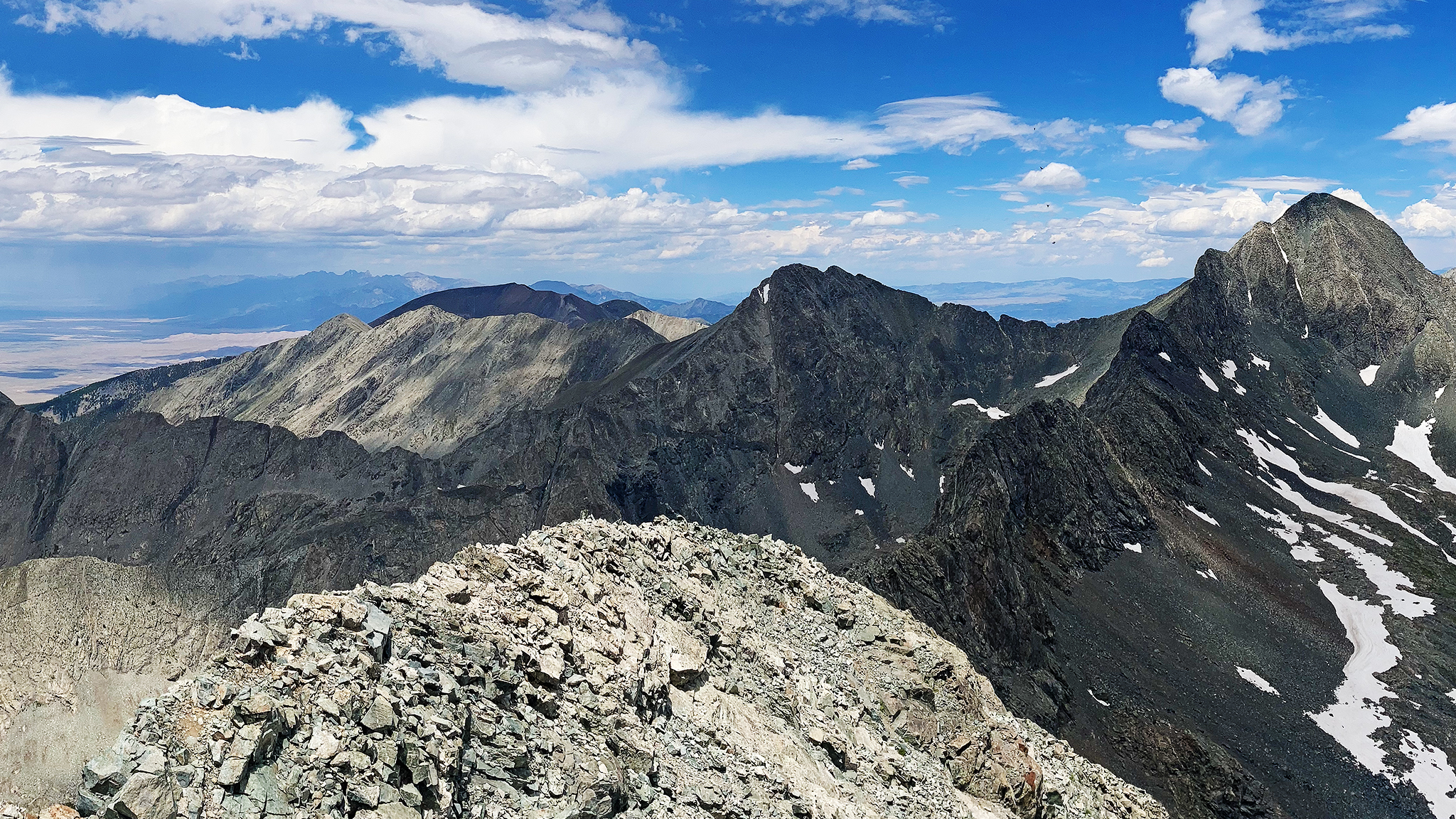
Day 4: the most technically difficult day. The Class 4 traverse from Fluted to Mt. Adams ends at a 5.2 chimney to the summit of Mount Adams, then the next three points to summit go at low 5th Class across what seems like a never ending knife edge with extreme exposure, as the east side of the ridge overhangs into the Macey Lakes Basin. You’ll get a breather once you get up the broken ridge to Obstruction Peak. Then it’s up Crestone Peak. I opted to take the North Buttress Route, as it allows you to summit a bonus 14,000’+ peak, Northeast Crestone at YDS 5.4. After summiting East Crestone (another bonus peak) and Crestone Peak, I completed the relatively easy Crestone Traverse and bivved near Broken Hand Pass at an elevation of (again) 13,000’+. ~10.98 miles/6,730′ gain.
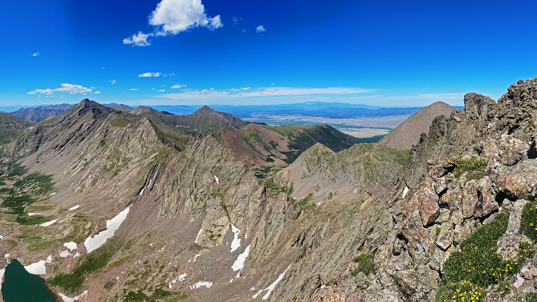
Day 5: after summiting Broken Hand Peak, there’s a some technical towers up to YDS 5.6 to negotiate, and then another jaw-dropping knife edge to scramble to Milwaukee Peak. The ridge then chills out, and I made the relatively easy Class 2 talus hop to Medano Pass. No water was available after Milwaukee Peak. The hardest part of this day was the atrocious “trail” down to the pass itself, of which the Hell found words cannot properly describe. There is a creek and a ditch with copious water. This would prove the last reliable water source of the entire route. ~16.01 miles/5,250′ gain.
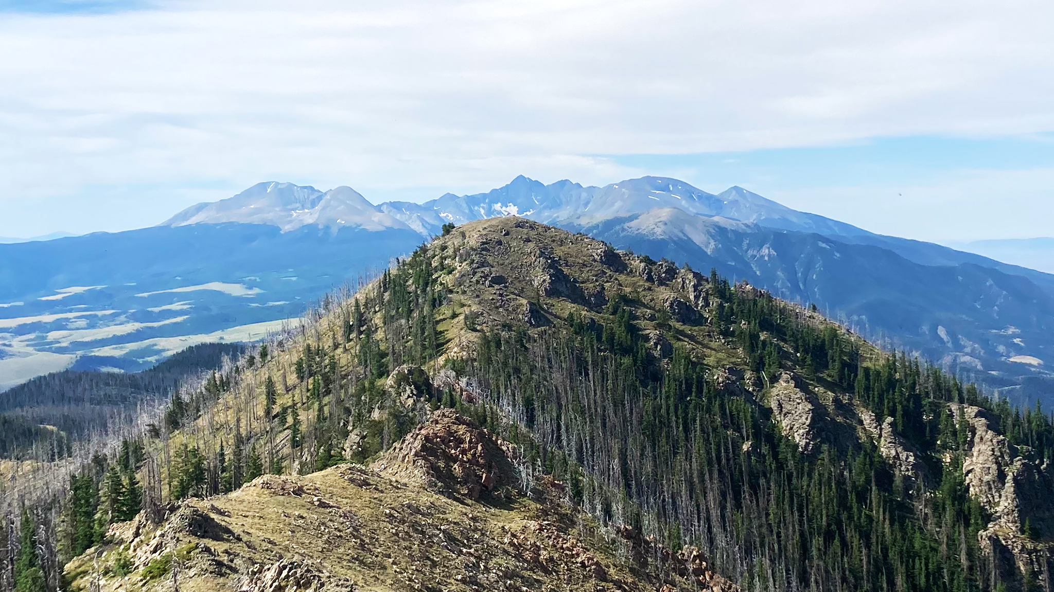
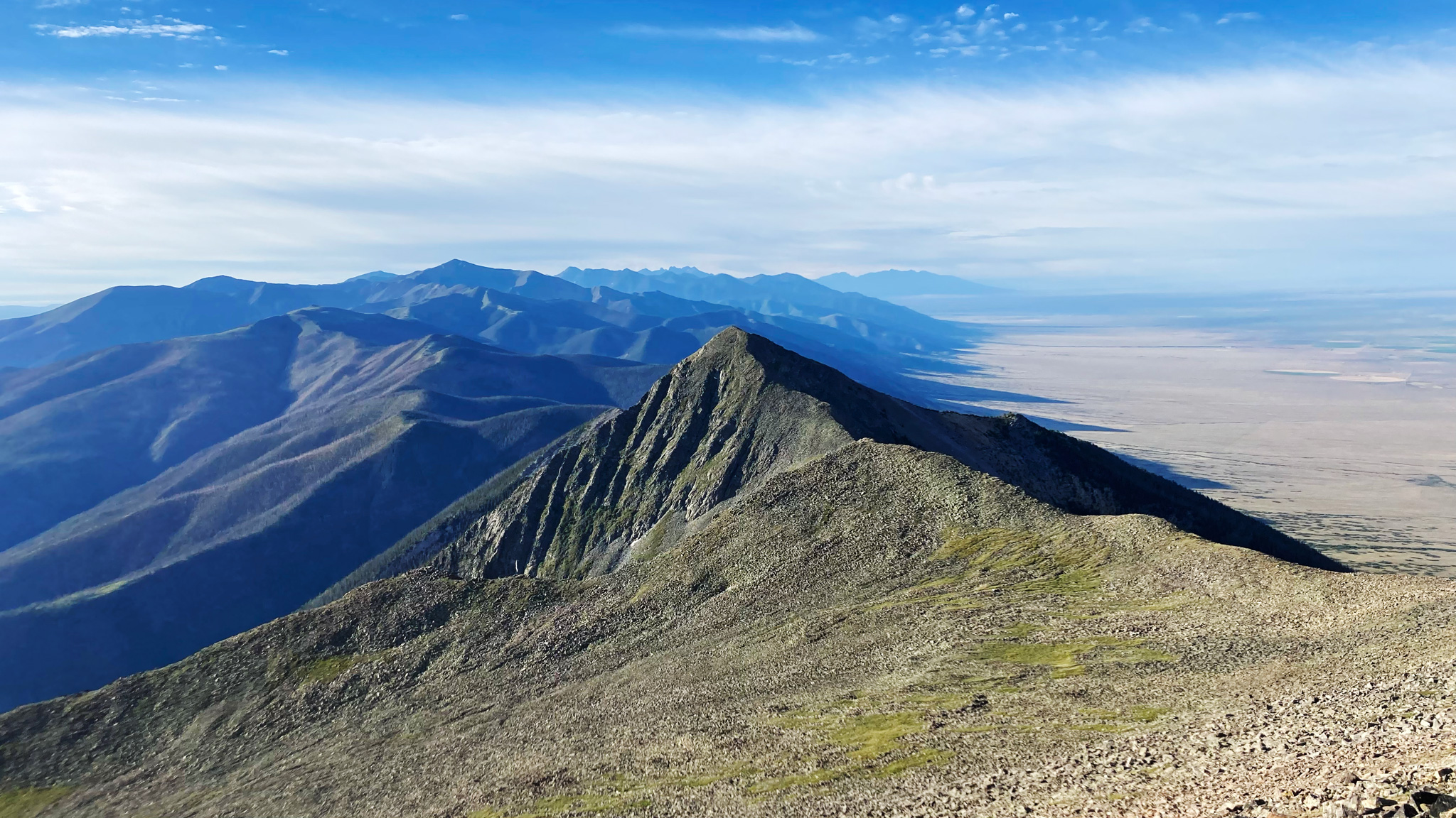
Day 6: a traverse over Mount Zwischen, a relatively low peak at ~12,000′, but where there’s no water source on, and the bushwhacking and blowndown is absolutely mega. You’ll cross Mosca Pass at its northern base, which also doesn’t have a water source. Even though I started my day with a hefty 6 liters, I ran out of water at Mosca Pass, the weather being so hot and my body tuned for cold weather and not hot. I didn’t reach water until around 13,000′ towards California Peak. This was a very long time for me to go dry, and I felt very much in danger of passing out from dehydration. At one point, I drank a few ounces of contact solution in a desperate attempt to add fluids to my body. A small snowfield was found at 13,000′ many miles later where I gleefully scraped handfuls of snow into my mouth for a few minutes, then collected snow in my water bladder to attempt to melt in my sleeping bag over night. ~21.95 miles/8,680′ gain.
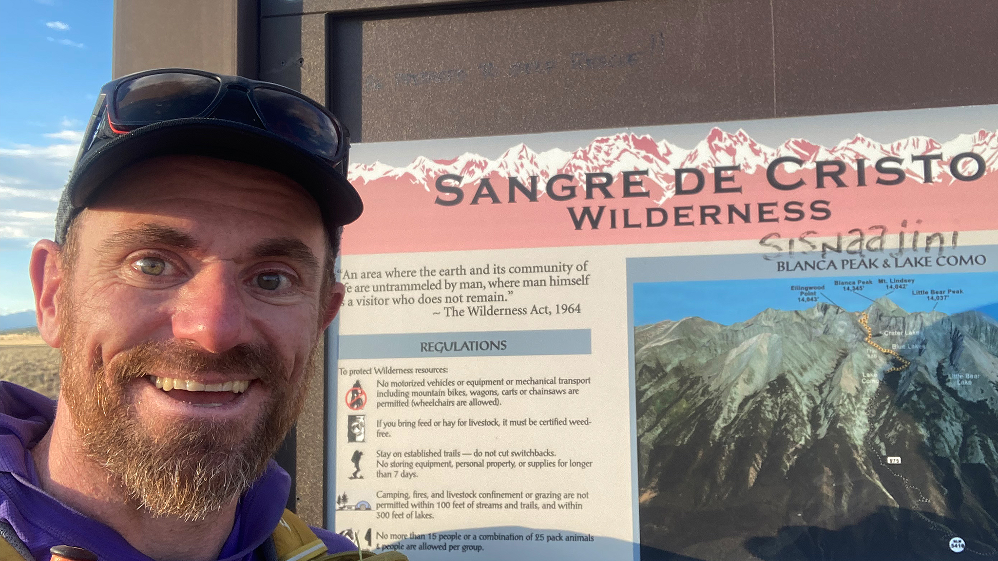
Day 7: Water again seemed scarce, but a few snowfields up high would help. This would be the final day, with some very technical parts. The ridge up Ellingwood Point is one of the route’s major cruxes, with steep climbing. The direct ridge from Ellingwood to Blanca has a punchy 5.4 headwall, and finally there’s the Blanca/Little Bear Traverse. This ridge traverse would be negotiated the least popular way from Blanca to Little Bear rather than vice-versa. I collected a small amount of snow found on this traverse, which I exhausted on the summit of Little Bear – the final major summit of the entire ridgeline! I couldn’t yet celebrate, as the descent is absolutely unreal: over a mile of elevation loss in 5 miles distance. As you go ever lower, the temperature rises. Having ran out of water at Little Bear Peak, this descent was again quite frightening as I was getting very dehydrated. Although I didn’t start to hallucinate, I couldn’t help but get caught in very complicated day dreams/fantasies, of which I’d snap out of when I fell on large boulders/talus, almost cracking my head open. I was in desperate need of water.
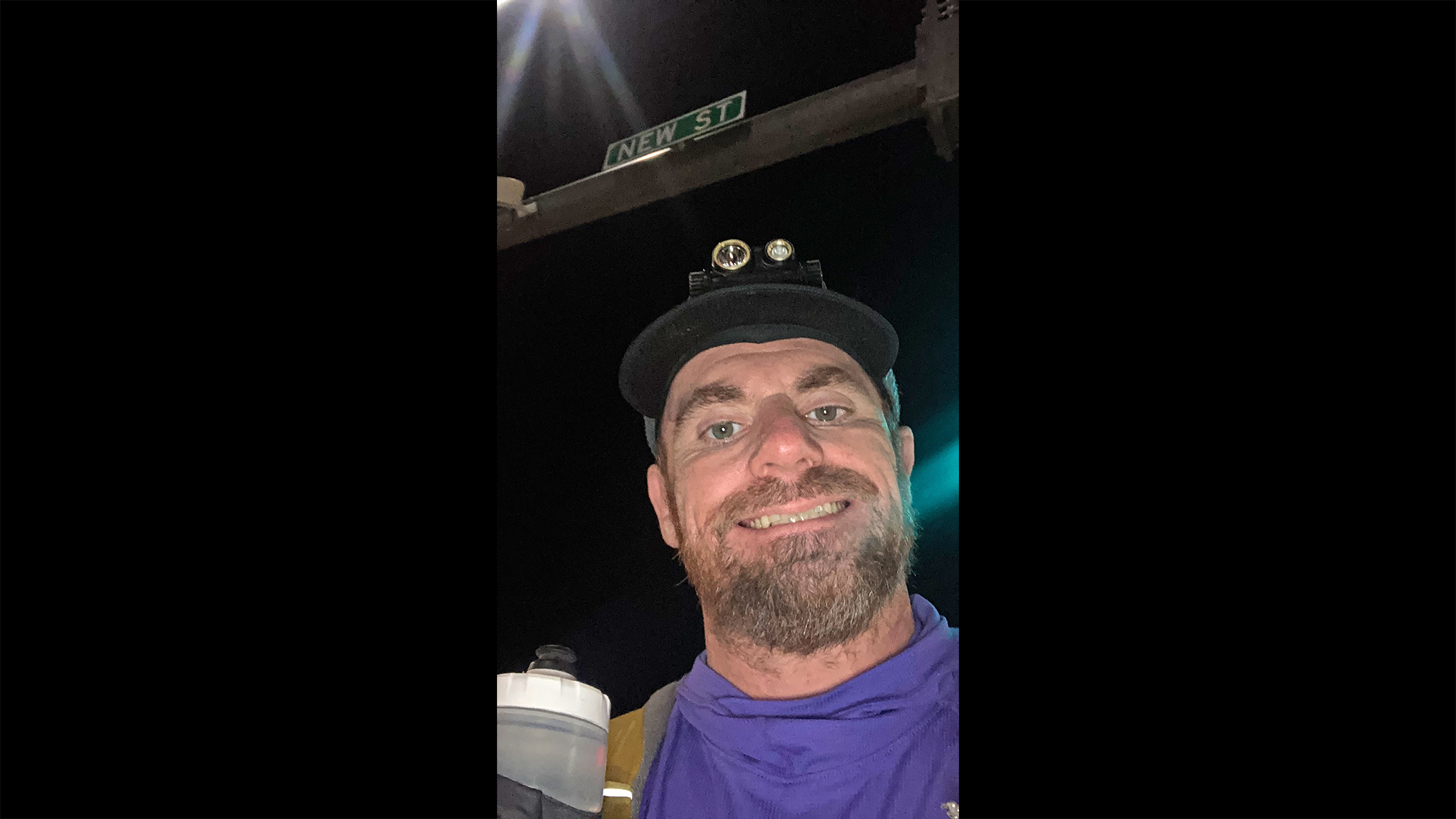
Thankfully, I knew there was Tobin Creek at the very base of the ridge – if it was running, I was saved. If not, I had my doubts I could even make it to the last few miles of the route to the highway, without having to call for help. Luckily for me, it was running clear and cold, and I bellyflopped into its shallow water, drinking up as much as I could and cleaning the collective grime off my clothes. I walked the maze of old roads gingerly to the highway, and was able to thumb down a ride not a few minutes after sunset back to civilization, to two bacon cheese burgers, and to a motel room. The next day, I took three buses back to Boulder and before noon: I was back home that next day. 13.9 miles/4,870′ gain.
It’s incredibly gratifying to have completed such an awesome route – one that has a multitude of objective dangers – relatively unscathed. Having done one of the (or THE) first documented traverses from North to South is highly rewarding, and knowing I did it in an unsupported style, with the goal of summiting all the known named high points – with many difficult bonus peaks – doubly so. I hope now that the route has been “opened up” may follow my lead – but do so with the required fitness, preparation, experience, and study. This is a serious undertaking, but worth every breathless second.

Drinking contact solution?! 😂
Congrats on an epic adventure and accomplishment! I haven’t dealt with that level of dehydration before, but it sounds frightening and well into “collecting my pee” territory. The part between Adams and Aislado or so sounds like actual fun, though.