Work in Progress
Bikepacking to the Colorado 14ers is currently being written and published publicly. Get news and updates by joining the Facebook group, Instagram, Twitter, subreddit, and mailing list.
Caltopo Map
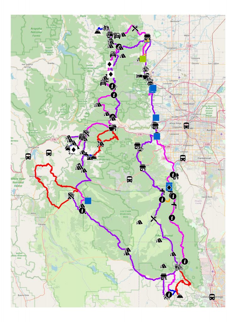
Route Narrative
- Segment #1: Golden to Horsethief Park TH and Pikes Peak
- Segment #2: Horsethief Park TH to Guanella Pass TH and Mt Evans/Mount Bierstadt
- Segment #3: Guanella Pass to Grays/Torreys TH
- Segment #4: Georgetown to East Longs Peak Trailhead
- Segment #5: East Longs Peak Trailhead to Golden
Front Range Stats
- MTB Narrative:
- 380 miles
- 39,200′ elevation gain/loss
- Road Narrative:
- 350 miles
- 29,003′ elevation gain/loss
- Hiking:
- 6 14ers
- 47.62 miles
- 18,552′ elevation gain/loss
The Front Range 14ers:
- Longs Peak
- Grays Peak
- Torreys Peak
- Mt. Evans
- Mt. Bierstadt
- Pikes Peak
are closest to the highest population center of Colorado: the Front Range Urban Corridor. You’ll find the most civilized of riding and experiences. One can conceivably tour all the Front Range 14ers by bicycle, and never hit dirt! In fact, two of the 14ers on this list: Pikes Peak and Mt. Evans, have paved roads open to bikes to their summits!
But within this urban pressure, one can still find peace, solitude, and adventure. A little more consideration has to be made in finding high quality dispersed camping, as the Front Range has more private property than any of the other mountain ranges in Colorado that we’re interested in.
Individual Mountain Networks
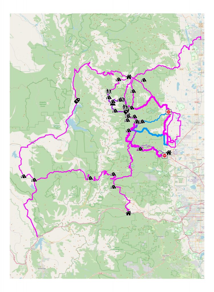
Longs Peak
Work in Progress
Bikepacking to the Colorado 14ers is currently being written and published publicly. Get news and updates by joining the Facebook group, Follow us on Instagram, join our subreddit, and mailing list.
You can support its development by purchasing items through the affiliate links on this site: check out the gear reviews, as well as the items below: