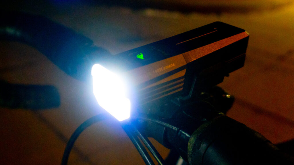
A bright, compact front bike light with innovative mounting options, USB-C charging, along with an included removable and replaceable 18650 battery.
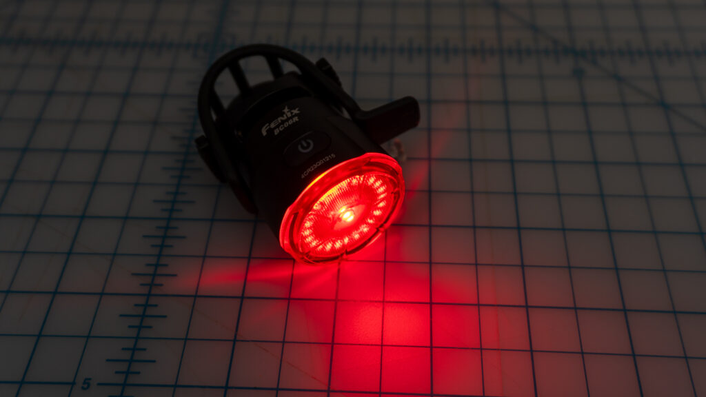
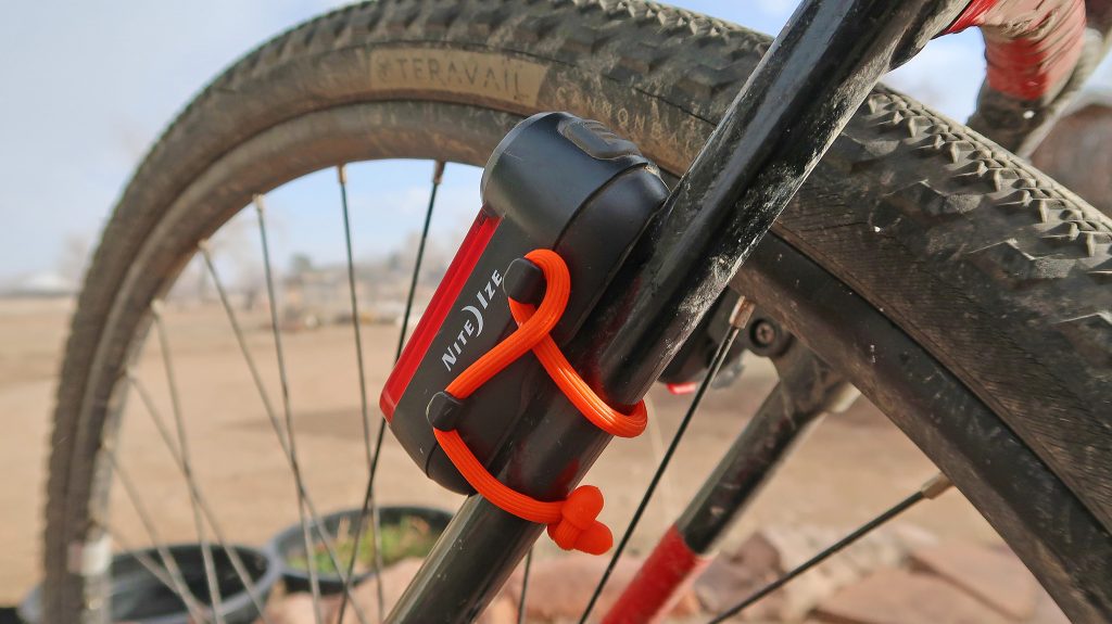
Fenix BC06R At a Glance What is the Fenix BC06R Rechargeable Bike Tail Light? The Fenix BC06R Rechargeable Bike Tail Light is a premium, compact, and lightweight rear red bike light. This handsome light sports a variety of lighting patterns at both a low and high intensity, plus an automatic burst mode when braking is Continue reading…
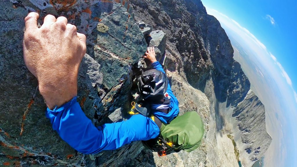
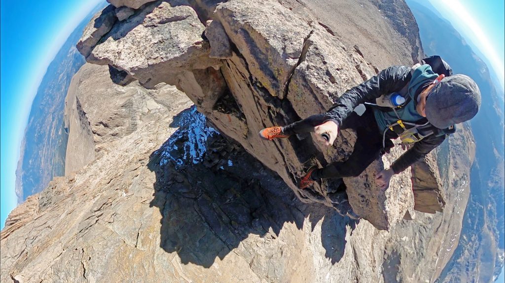
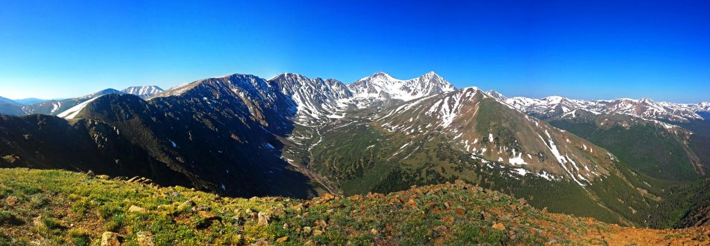
One COLD ride up Guanella Pass to summit Bierstadt, traversing the Sawtooth and topping out on Blue Sky! I have a Patreon and release videos like these early to members. If you would like to support the content I create, consider becoming a member yourself!
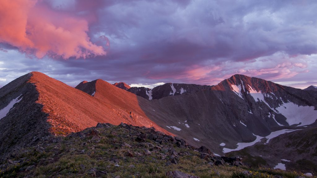
Map Cruxes The southern part of the range holds most of the semi-technical scrambling. Below are some of the more difficult sections. Anything over Class 3, I’ve noted below. Some scrambling sections are difficult to grade with a YDS rock grade, but may contain difficult route finding, loose rock, and snow. I’ve neglected many of Continue reading…
https://caltopo.com/m/KUF7
Total: 6,025 grams/13.3 pounds For this trip, food was essentially fuel, so no fancy/delicious freeze-dried meals to be reconstituted during extended breaks – that just wasn’t going to happen. Each day had the same menu in its kit, and calories totaled ~4,750 calories/day. I brought five days of kit. Breakdown of each day consisted of: Continue reading…
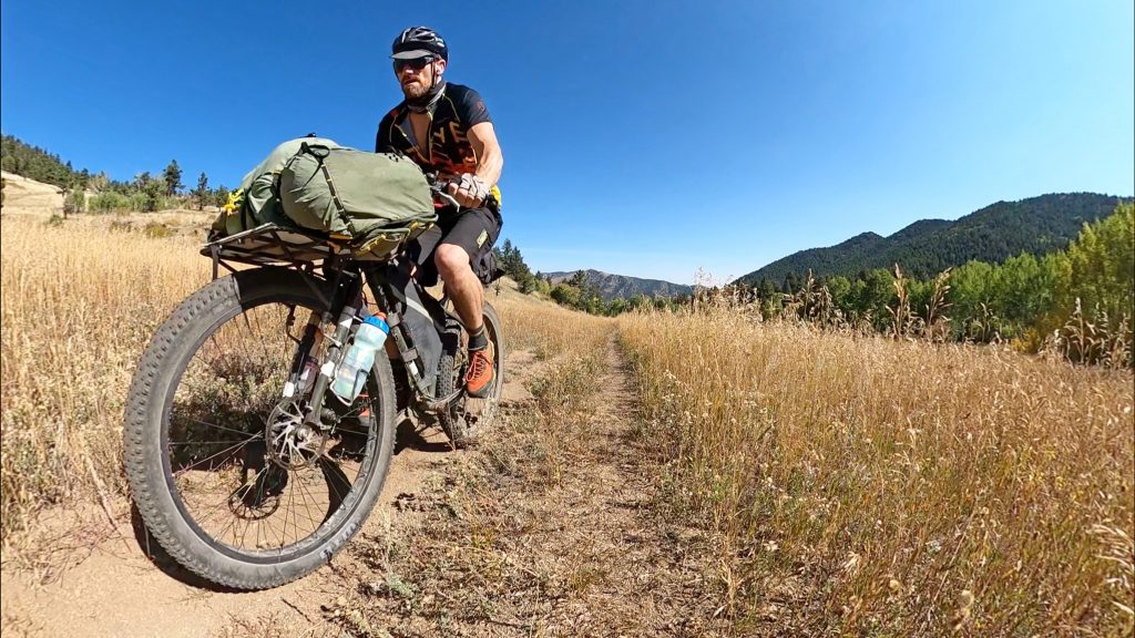
This is Part II of my two-day bikepacking trip to Longs Peak (here’s Part 1), with the main goal figuring out a righteous off-pavement route to Longs Peak. In this video, I take to the trails to summit Longs Peak – as well as Mount Meeker. I link the two via Gorrell’s Traverse: a most Continue reading…
2021 was a tough year to get through – but I tried to make the best of it! Long, self-contained adventures are already my main jam, so it was easy to adapt to the topology of 2021. Here’s some of the favorite trips I took out in Colorado. I took a TON of footage this Continue reading…
I talk to Alex Potter over at iRunFar about my love affair with bicycles and how I use them to get the trailheads to run the trails in their Trailhead Vehicles series! Give it a read and make sure to follow them for their excellent race/running culture coverage!
I’ve put myself into some pretty stupid situations of my own making. It’s sometimes amazing even to me that I’ve gotten out of a few of them relatively unscathed. Like that one time I thought it would be absolutely brilliant to ride from Denver pedaling a completely overloaded trailer-laden bike with all my gear, then Continue reading…
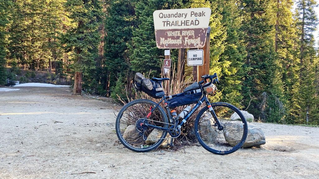
With the car parking reservations needed for Quandary Peak starting July 30th 2021, here’s some ideas on how to ride a bike there: Caltopo Map Use this map (https://caltopo.com/m/BDD0) to grab the GPX routes. From Breckenridge (Road): If taking public transportation, take the Bustang West Line from Denver to Frisco. Dispersed camping outside of Frisco Continue reading…
I’ve released my first draft of Segment #4 of the Front Range bikepacking guide to the CO 14ers: Segment #4 takes from around Georgetown to the base of Longs Peak! The MTB narrative rushes you down Argentine Pass to a resupply in Idaho Springs, then up Oh My God Road, to a mixed surface route Continue reading…
I’ve released my first draft of Segment #3 of the Front Range bikepacking guide to the CO 14ers: Segment #3 takes you from Guanella Pass, up and over Argentine Pass, and deposits you in Horseshoe Basin, to tackle Grays and Torreys from Grays’ South Ridge Route. Georgetown is used as a resupply point. Enjoy!
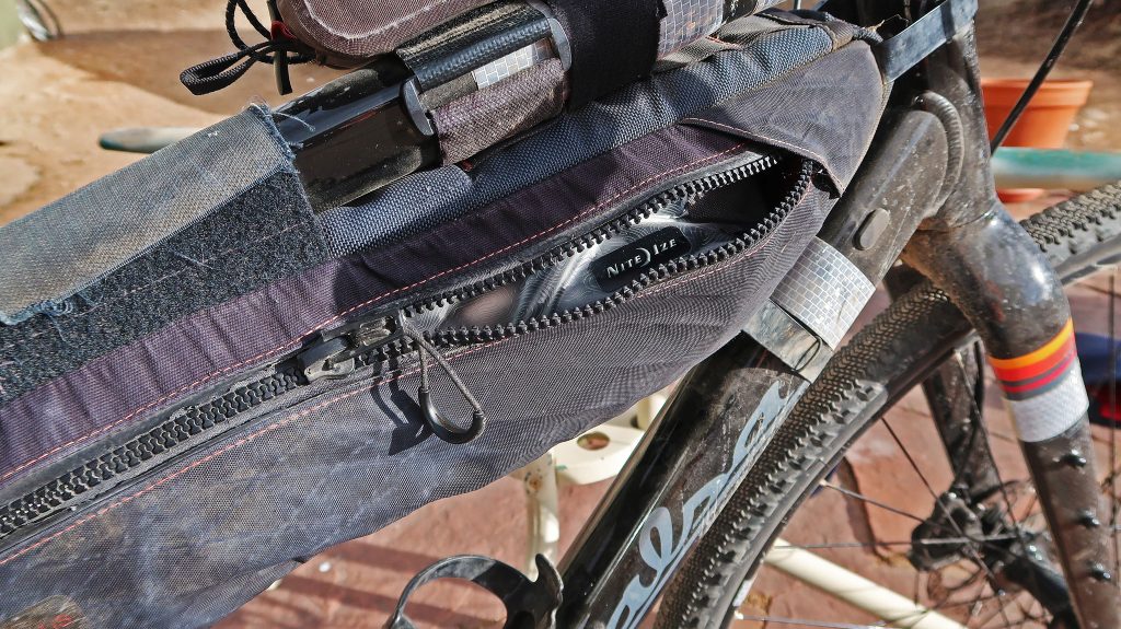
I’m checking out some gear from NiteIze! See my spotlight on some of the lights they put out for more of an introduction. In this post, I look at two bags I’ve found useful for cycling trips:
previously, and previously Time to tally up all the successes (and failures) from this year’s (mis)adventures:
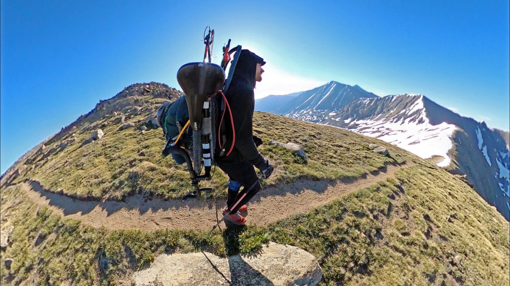
I’ve released the first draft chapter of what is hopefully going to be a full-fledged guidebook on bikepacking to the Colorado 14ers. It’s about my favorite mountain to ride bikes to: Longs Peak. Check it out, and share your feedback. I’ll be moving forward with other mountains in the Front Range, as well as chapters Continue reading…
The State of Colorado features a land mass that’s one third Public Land! This makes access to this land for hiking, camping, and riding extremely plentiful. There are some finer points to consider when designing your own trip: National Forest/BLM Land Unless otherwise posted, access for dispersed camping is available on most National Forest and Continue reading…
Choice Trip Itineraries Dirt Download Trip (.gpx) View in GPSVisualizer Day #1 Take LP13: East Longs Peak TH via Betasso/Swiss Trail/Sourdough up towards the East Longs Peak TH. This is a full day’s ride alone. Bivy in NF at either Ski Road near Allenspark, or off of FDR 119. Day #2 Hike Longs Peak via Continue reading…
I’m currently writing a book! I’ve decided to make development open and public, so you can see what I’m up to, check out the content and give back feedback. How to Use This Guide Guide on the guide. Access Guidelines on where you can ride/hike/bivy in Colorado. Transportation Getting to/from the starting points of routes Continue reading…
With the early season snow coming to Colorado, some of my bikepacking plans have had to be delayed for a few weeks. Even though I’m ready and my bike’s ready, I’ll have to wait for the weather and roads to clear up.
Here’s a link to the below in a simple spreadsheet form. The Sangre de Cristo Range route as an unsupported fastpack carries with it a lot of logistical puzzles one has to solve before the trip becomes realistic. Yes, one has to be in good physical condition to take on the distance – and more Continue reading…
