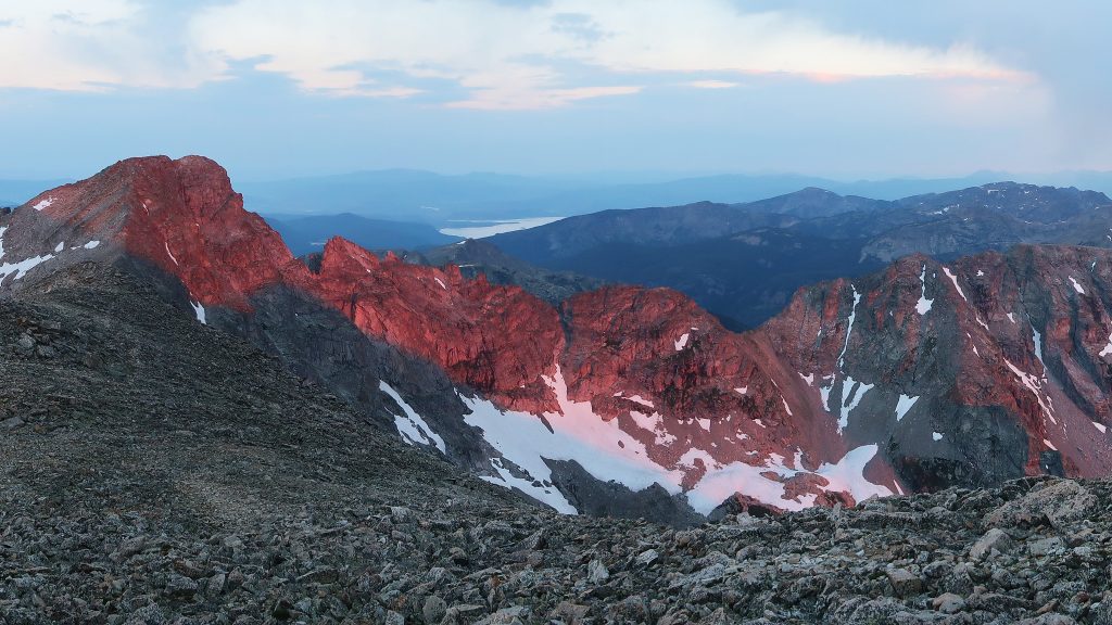
Update #1: Trip Narrative is up Update #2 Project Pages are up The mountains along the Continental Divide provide the backdrop to the city I live in: Boulder, CO. From town, nothing can be seen beyond their sheer, rocky, glacier-choked east faces and the ridgeline itself invites one to come explore their craggy features, beacoup Continue reading…
Subscribe to the Fastest Known Podcast on iTunes, SoundCloud, Google Play, Stitcher, or Spotify.
Part One: Part Two: Part Three:
My long-form trip report of my Mosquito-Tenmile Traverse is up on the Ultimate Direction blog. Grab a coffee and have a read: http://blog.ultimatedirection.com/knowing-when-to-just-go-for-it-the-mosquito-tenmile-range-traverse/