Milner Pass to Berthoud Pass along the crest of the Continental Divide~75 miles, Class 2 – low 5th ClassAugust 2020, ~3 days 17 hours Solo + Unsupported, First Known Traverse The Route The mountains along the Continental Divide provide the backdrop to the city I live in: Boulder, CO. From town, nothing can be seen Continue reading…
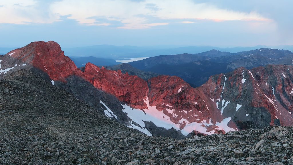
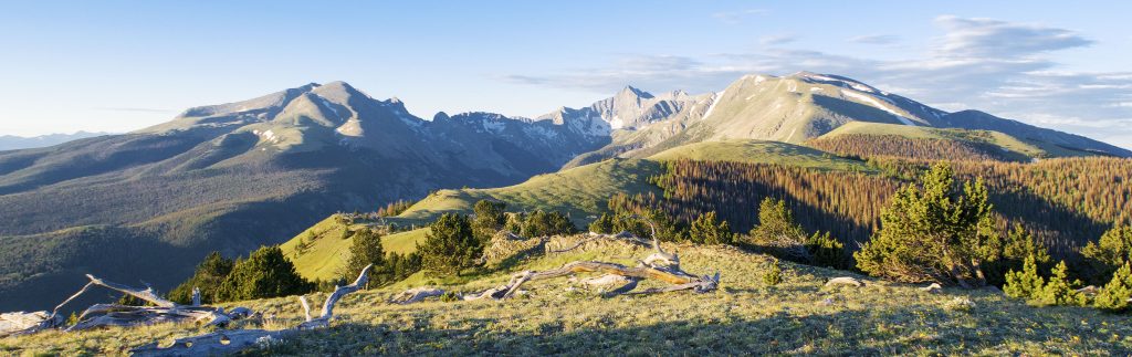
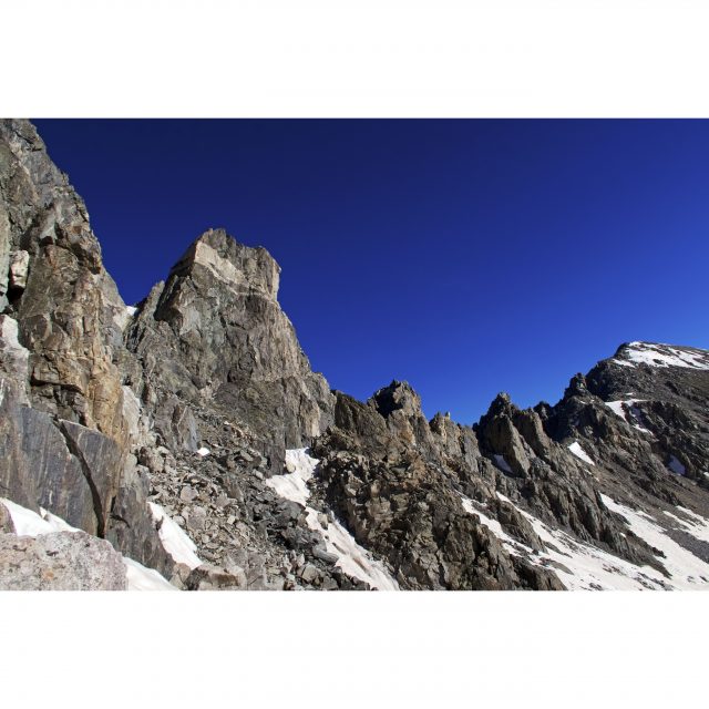
Update #1: Trip Narrative is up Update #2 Project Pages are up The mountains along the Continental Divide provide the backdrop to the city I live in: Boulder, CO. From town, nothing can be seen beyond their sheer, rocky, glacier-choked east faces and the ridgeline itself invites one to come explore their craggy features, beacoup Continue reading…
July 2019 + July 2023, +120 miles, ~6 days+, Class 1-5.easy, Solo + Unsupported Below are additional pages of information, besides this one: Guidebook Looking for a guide to the route? Here’s mine: Route Description The Sangre de Cristo Range is a long chain of mountains starting (going South to North) between La Veta Pass Continue reading…
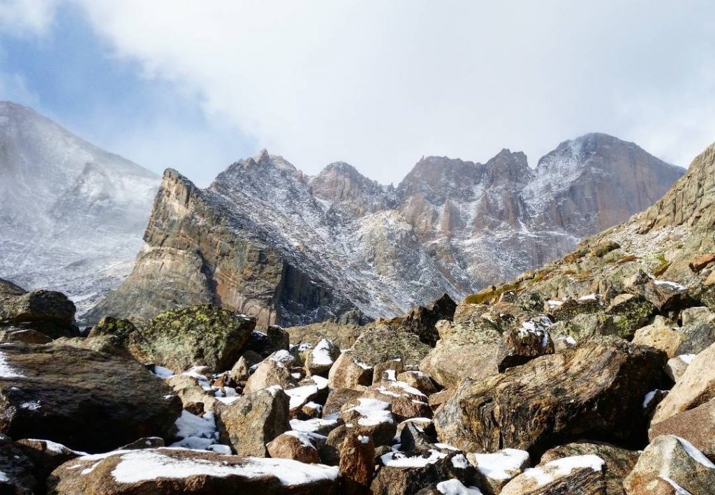
Unrealized With Longs Peak being of close-enough proximity to Boulder to ride to by bike and back, the mountain has been a long-term focus of mine in the realm of Longs Peak duathlons. Summiting Longs Peak every month of the year in succession by a different route is the Longs Peak Project. Adding an approach Continue reading…
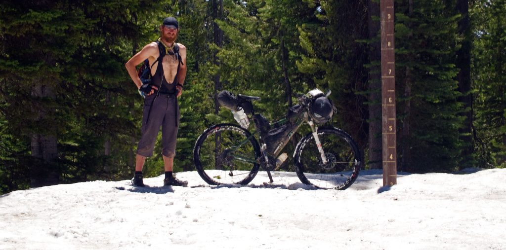
2011 (scratch near Silver City), 2012 finish in ~23 days The Tour Divide was a seminal trip for me. Officially, it was my first (then second) mountain bike race. I thought nothing of buying my first mountain bike a few months before the race, and lining up in Banff, Alberta, Canada, pointing the bike South Continue reading…
Summer, 2018. Solo + Unsupported. Unrepeated. Introduction The Mosquito/Tenmile Range in Colorado runs south to north between Buena Vista and Frisco, CO. Inspired by Peter Bakwin’s nearly futuristic vision and attempts to traverse the entire ridgeline from Weston Pass (outside of Leadville, CO) to the Mount Royal trailhead, I awoke early Saturday morning from my Continue reading…
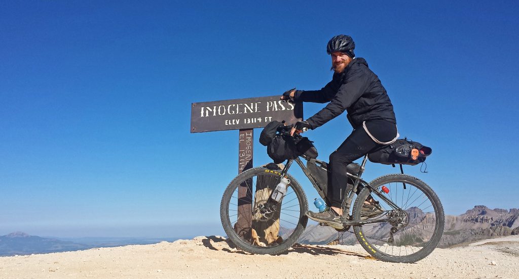
July 2017 – September 2017. Solo + Self-Supported. Unrepeated. The Hundred Highest Colorado Peaks, ridden to by bike; summited on foot, completely Self-Powered and Self-Supported: in 60 days or less Weaving a path of singletrack, 4×4 tracks, country and dirt roads, the Tour of the Highest Hundred project takes the path less pedaled to gain Continue reading…
July – August 2014, ~34 days, 12 hours, Solo, Self-Supported The highest 58 peaks, ridden to by bike; summited on foot, completely Self-Powered and Self-Supported. Weaving a path of singletrack, 4×4 tracks, country and dirt roads, the Tour 14er project takes the path less pedaled to gain the base of ALL the Colorado 14ers by Continue reading…