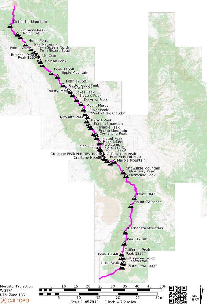
- Named peaks in black have 300′ or more rise and a half a mile of isolation
- Named peaks in gray have less than 300′ of rise and/or less than a half a mile of isolation.
- “bonus” peaks are peaks summited, but not located directly on the main ridge.
- “South Little Bear”, 14,020′
- Little Bear Peak, 14,037′
- Blanca Peak, 14,345′
- Ellingwood Peak, 14042
- Peak 13656, 13,656′
- Peak 13577, 13,577′
- California Peak, 13,849′
- Peak 12198, 12,198′
- Carbonate Mountain, 12,313′
- Mount Zwischen, 12,010′
- Blizzadine Peak, 11,922′
- Blueberry Peak, 12022′
- Snowslide Mountain, 11,672′
- Marble Mountain, 13,272′
- Milwaukee Peak, 13,526′ (bonus)
- Broken Hand Peak, 13,575′
- Crestone Needle, 14,196′
- Crestone Peak, 14,299′
- “Obstruction Peak”, 13,812′ (bonus)
- Point 13543, 13,543′
- Point 13533, 13,533′
- Point 13543, 13,543′
- Mt. Adams, 13,937′
- Fluted Peak, 13,576′
- Comanche Peak, 13,277′
- Spring Mountain, 12,228′
- Venable Peak, 13,333′ (bonus)
- Eureka Mountain, 13,505′
- “Yahoo Mountain”, 13,001′
- Hermit Peak, 13,311′
- Rito Alto Peak, 13,801′
- “Peak of the Clouds”, 13,495′
- “Silver Peak”, 13,517′
- Mount Marcy, 13,504′
- De Anza Peak, 13,391′
- Electric Peak, 13,618′
- Lakes Peak, 13,384′
- Thirsty Peak, 13,224′
- Point 13128, 13,128′
- Cottonwood Peak, 13,597′
- Peak 12655, 13,655′
- Nipple Mountain, 12,206′
- Peak 11662, 11,662′
- Galena Peak, 12,478′
- Peak 12676, 12,676′
- Mt. Otto, 12,865′
- Bushnell Peak, 13,112′
- Twin Sisters, South, 12,741′
- Twin Sisters, North, 13009′
- Point 12908, 12,908′
- Red Mountain, 12,975
- Hunts Peak, 13,061′
- Point 12395, 12,395′
- Simmons Peak, 12,060′
- Methodist Mountain, 11,712′
Map

Cruxes
The southern part of the range holds most of the semi-technical scrambling. Below are some of the more difficult sections. Anything over Class 3, I’ve noted below. Some scrambling sections are difficult to grade with a YDS rock grade, but may contain difficult route finding, loose rock, and snow. I’ve neglected many of the sections that contain beaucoup Class 3 sections, as these are found throughout the range. Staying as close to the ridge crest as possible will up the difficulty significantly. Of particular note, the ridge from “Obstruction Peak” to Mt. Adams is particularly loose.
(South to North)
- South Little Bear
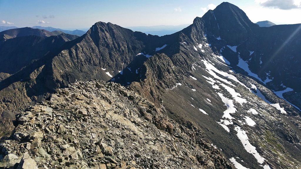
- Little Bear/Blanca Traverse, low 5th
- Ellingwood South Ridtge Direct, low 5th
- Ellingwood North Ridge (downclimb), low 5th
- Milwaukee Peak
- Broken Hand Peak
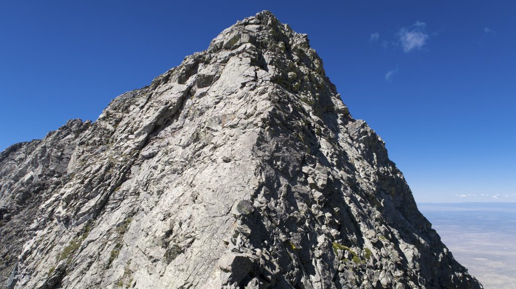
- Crestone Needle, 4th
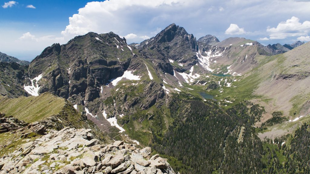
- Crestone Traverse, low 5th
- Crestone Peak, NW Couloir, steep snow
- Obstruction to Mt. Adams
- Mt. Adams
- Fluted Peak


